After the Caribbean trip, I spent just 10 days at home sorting everything out and preparing for the next, longer planned trip, but not without enjoying time with friends.


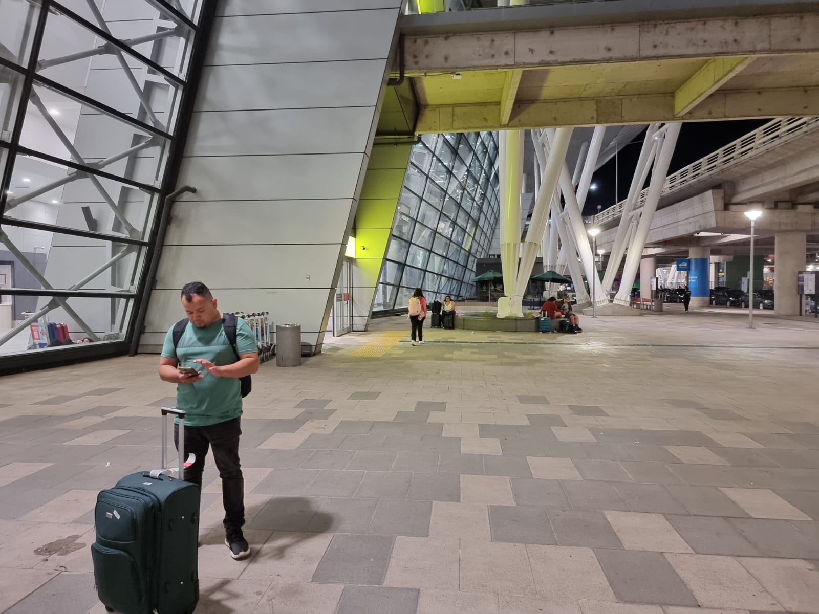
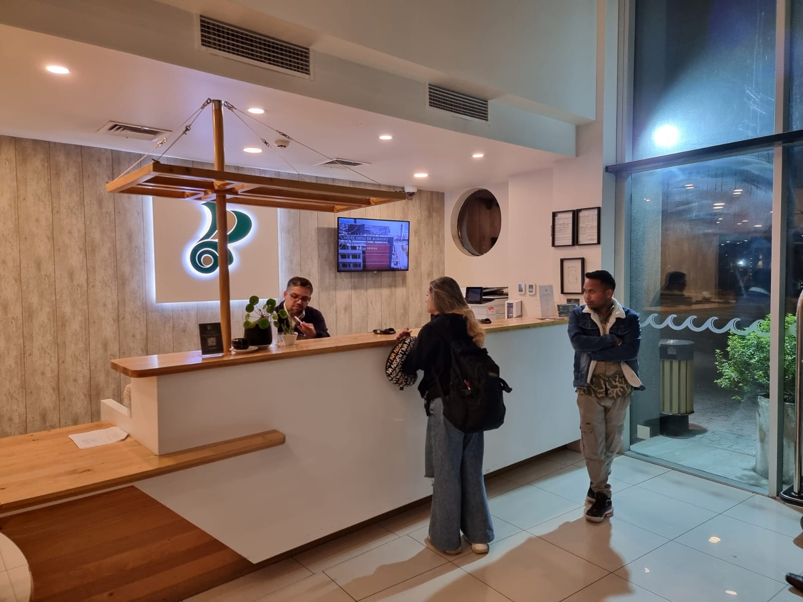
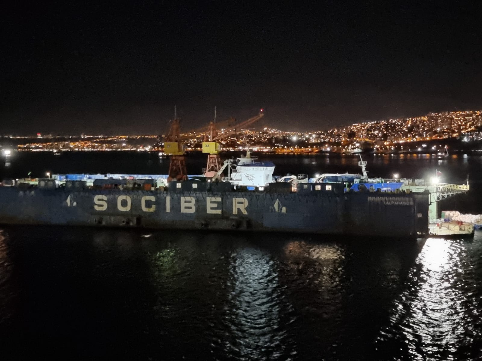
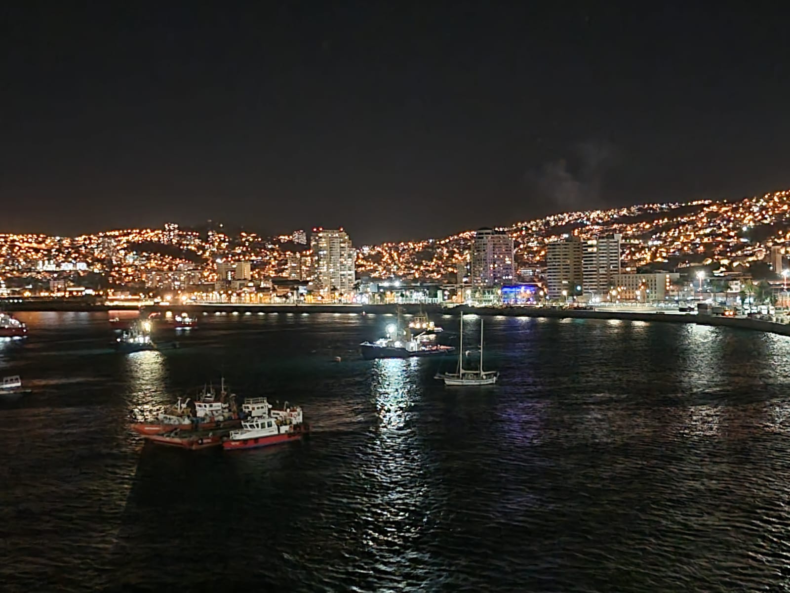
On March 11, the time had come again: departure from Santa Maria Airport and onward flight in Ponta Delgada to Lisbon, where I first checked into a hotel at the airport before flying on to São Paulo the next morning. There we continued late in the evening to Santiago de Chile, where I met up with old colleagues again and we were taken to a hotel in Valparaíso for a short rest during the night. In the morning, the new crew was transported to the port in two buses and, after the usual procedures, we were finally able to board the Scenic Eclipse II. That evening, the ship sailed off and we watched the hustle and bustle at the port and the fighting of a fire about 2 km upstream.


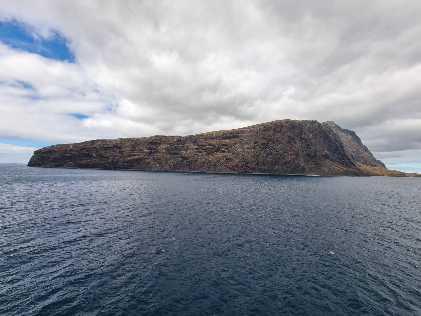
The next day we reached Robinson Crusoe Island. In 1704, the Scottish sailor Alexander Selkirk was abandoned here and lived in complete solitude for four years and four months. The English writer Daniel Defoe was inspired by his story to write his novel Robinson Crusoe. Isla Robinson Crusoe is one of the two main islands of the Juan Fernández Islands archipelago, which belongs to Chile. It is located in the southern Pacific 667 kilometers west of the Chilean port city of Valparaíso. Before it was renamed Isla Robinson Crusoe in 1966, it was known as Isla Más a Tierra.


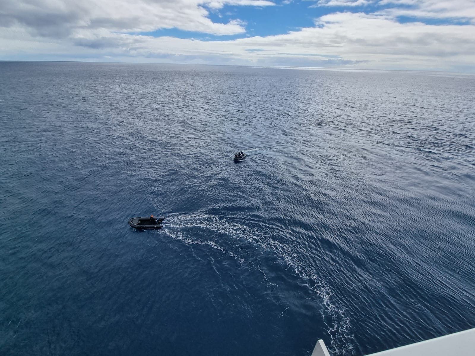
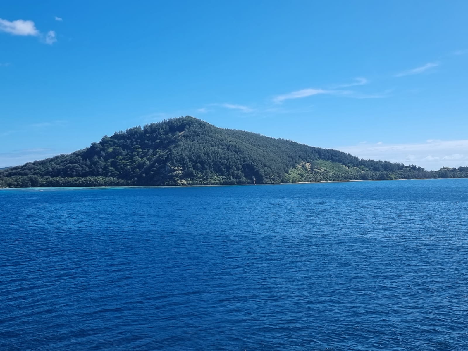
We did not go ashore on Alejandro Selkirk Island, but explored the surrounding area with the Zodiac boats. The island is not permanently inhabited and is also part of the Robinson Crusoe archipelago.

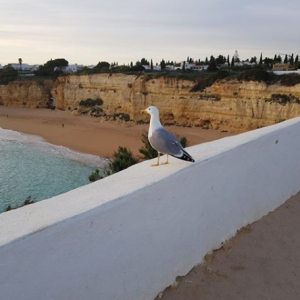
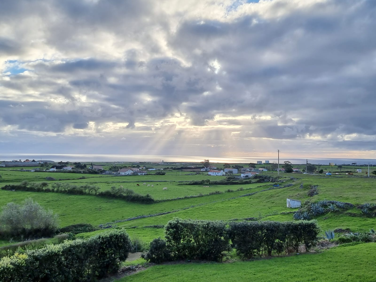
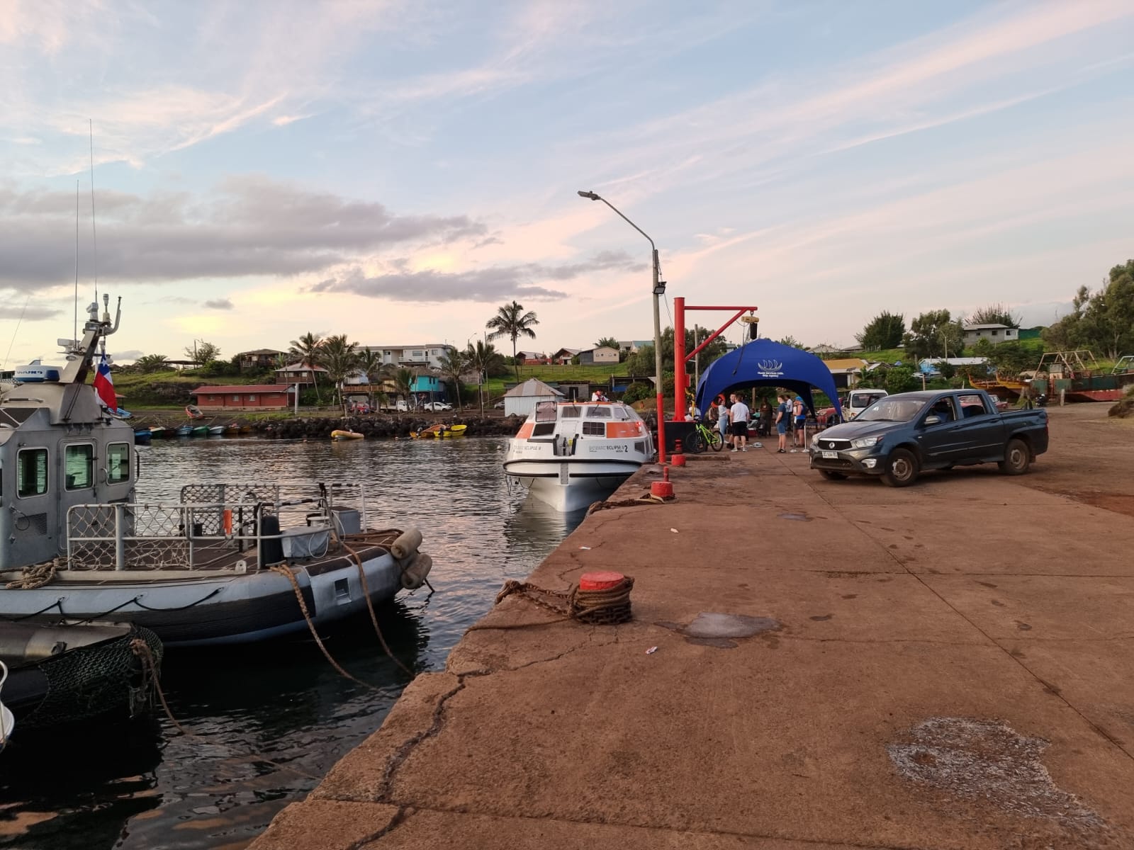
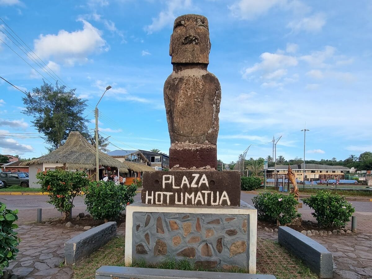
On the morning of March 21, we sailed into the port of Hanga Roa after having set our clocks back by two hours the night before. Hanga Roa is the “capital” and only town on Easter Island, which is located in the south-eastern Pacific and belongs to Chile.

Rapa Nui, Easter Island, is still the subject of archaeological and ethnological research. Much has already been written about it, but there is still a lot that remains in the dark. A useful summary can be found at Wikipedia | Easter Island.
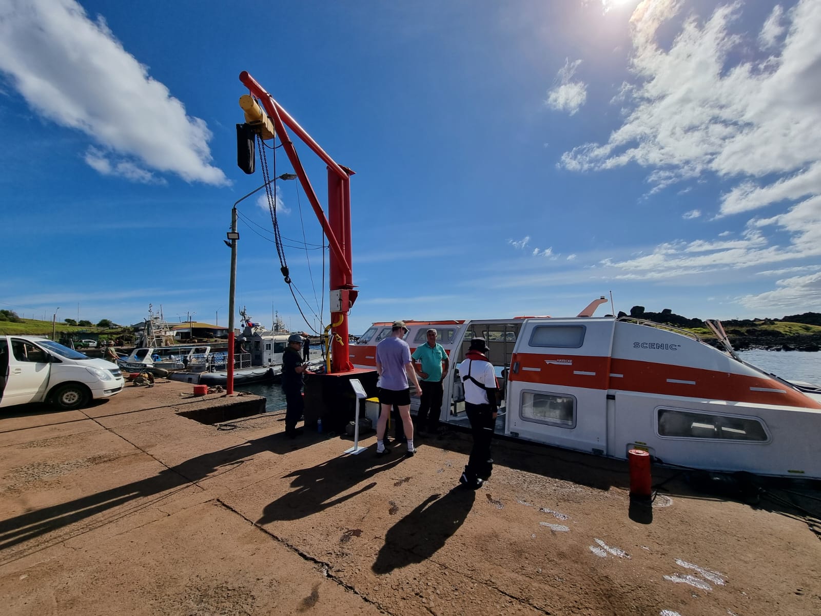
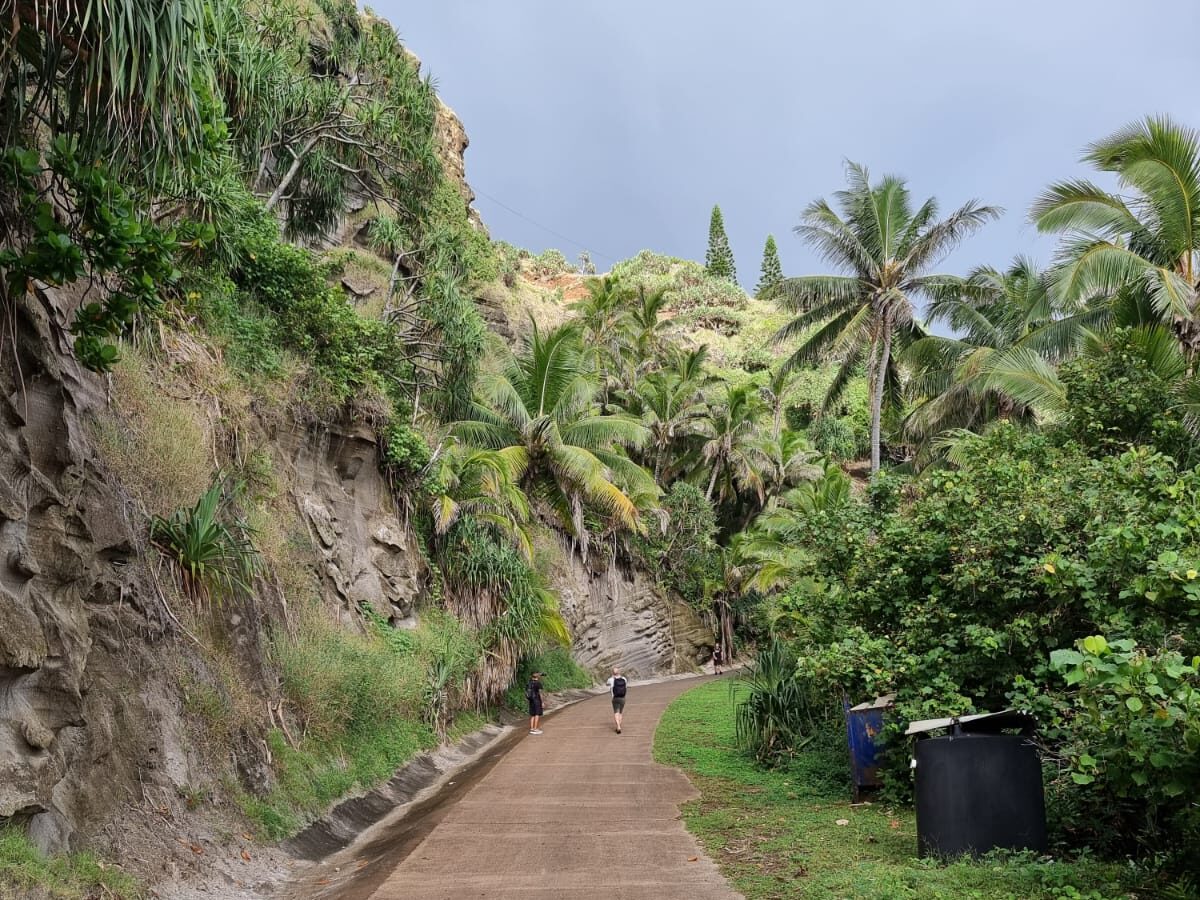
I was able to get a first impression the afternoon after our arrival. We first had to take the tender boat around the cliffs, reefs and underwater rocks to get to the small jetty. Then I made my way “downtown” by GPS, about 2 km to the town center, to treat myself to a huge portion of ice cream and a Café Americano in an Internet café. I used the fast internet for a series of uploads and downloads, as well as lots of updates.


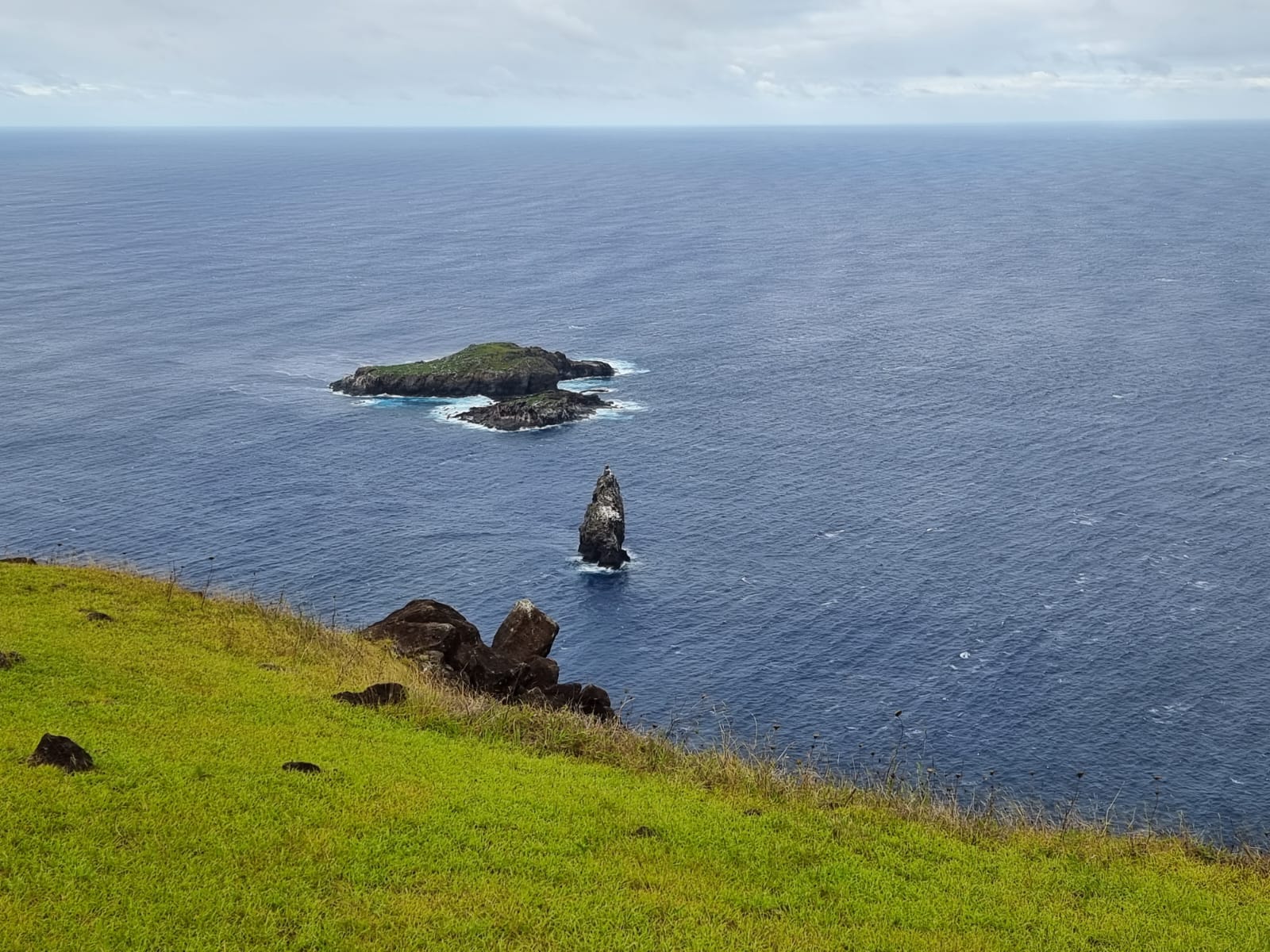
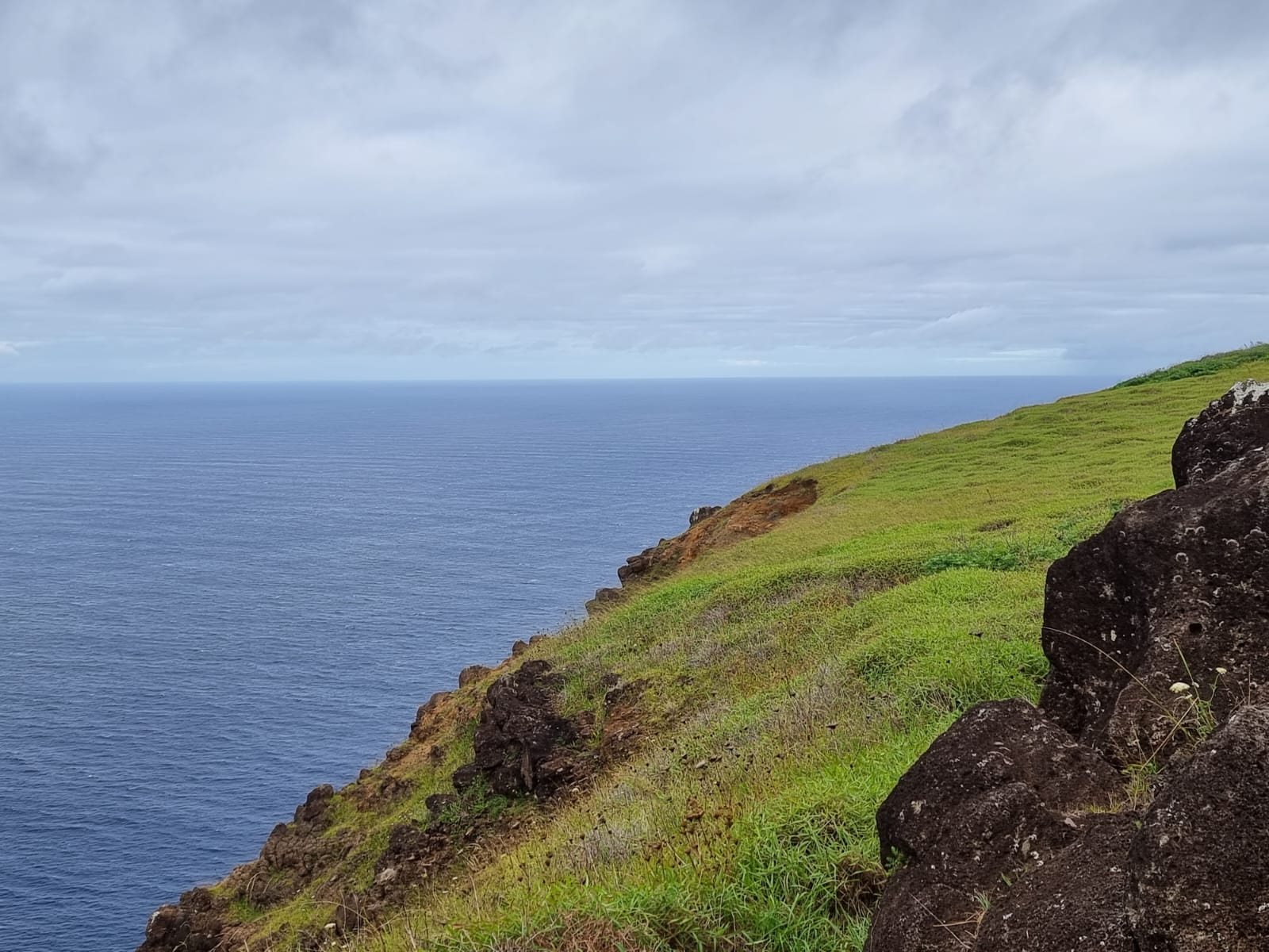
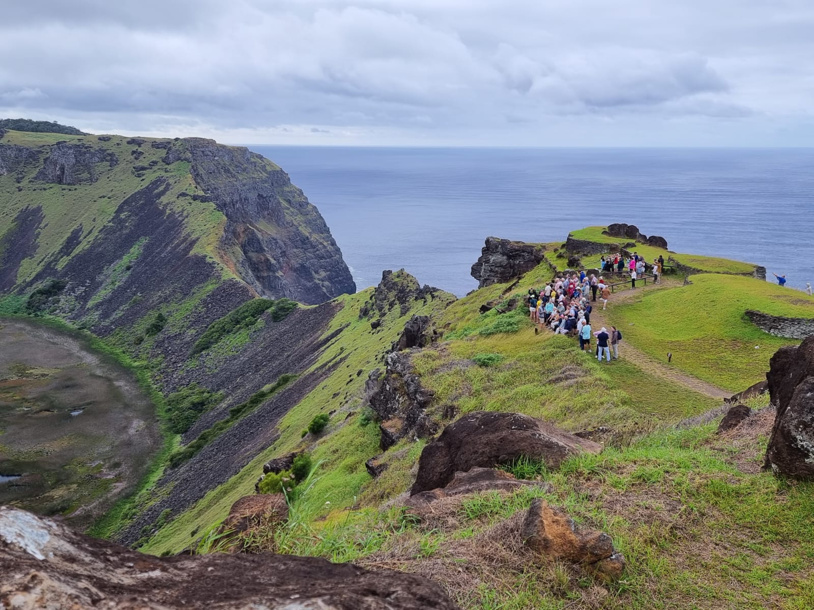
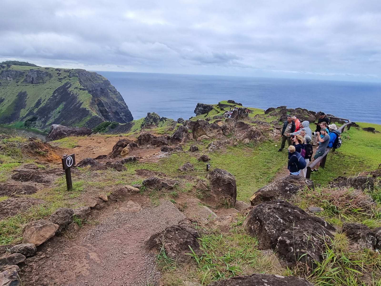
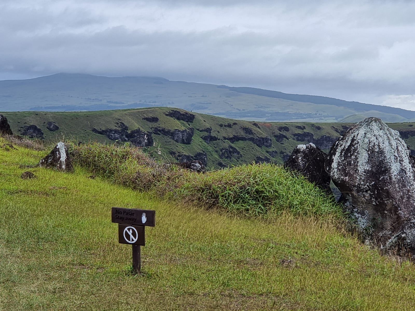
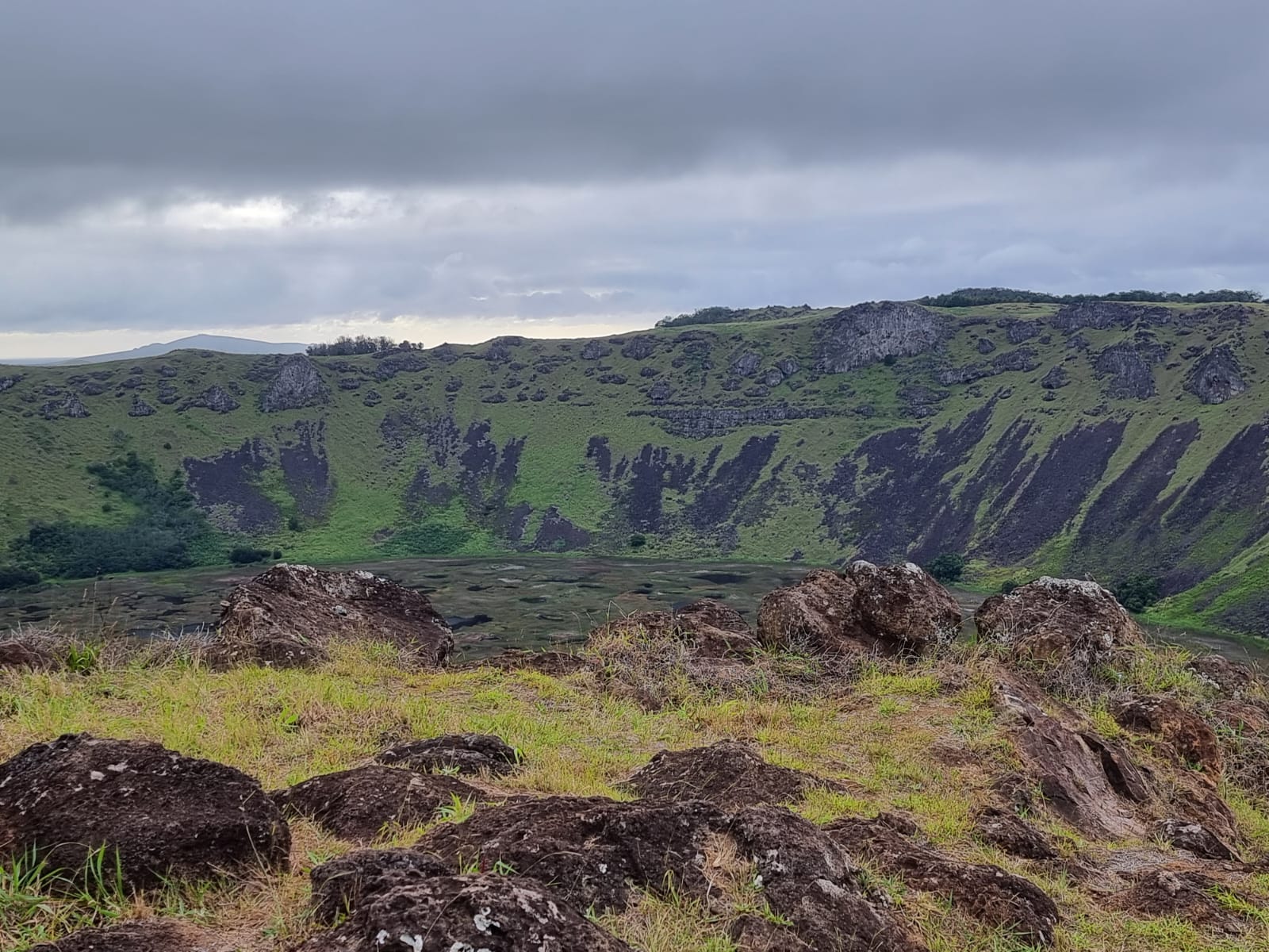
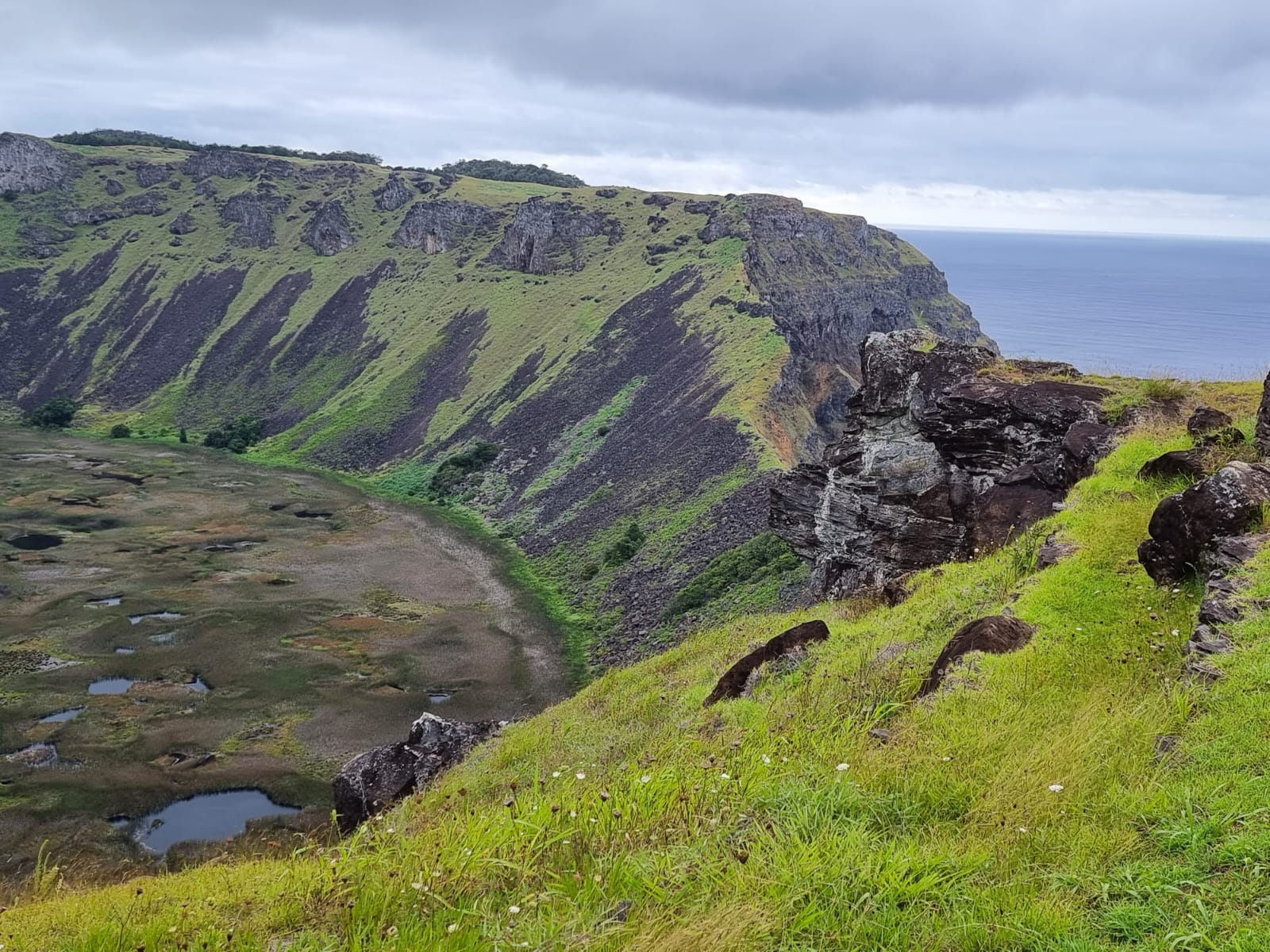
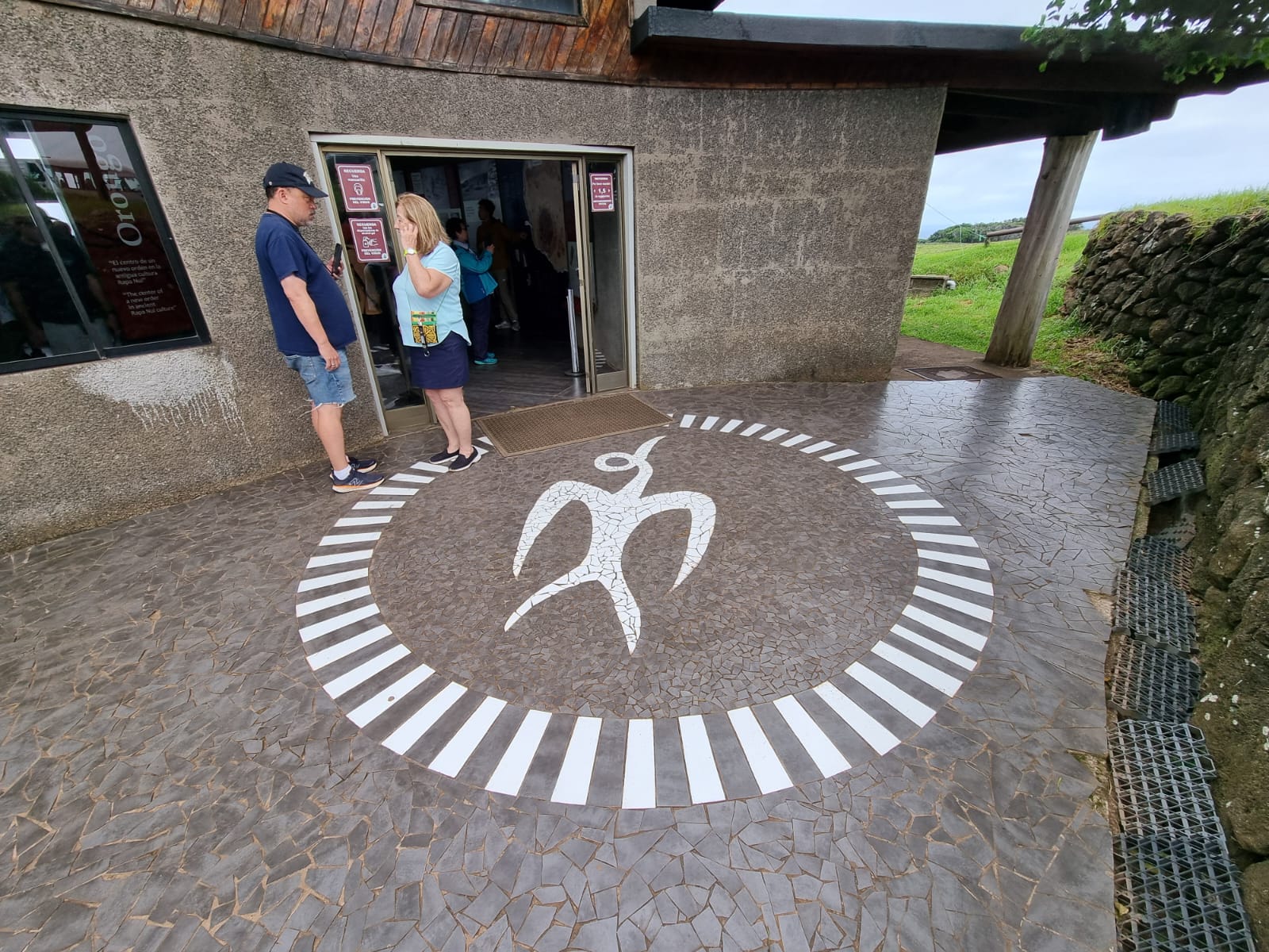
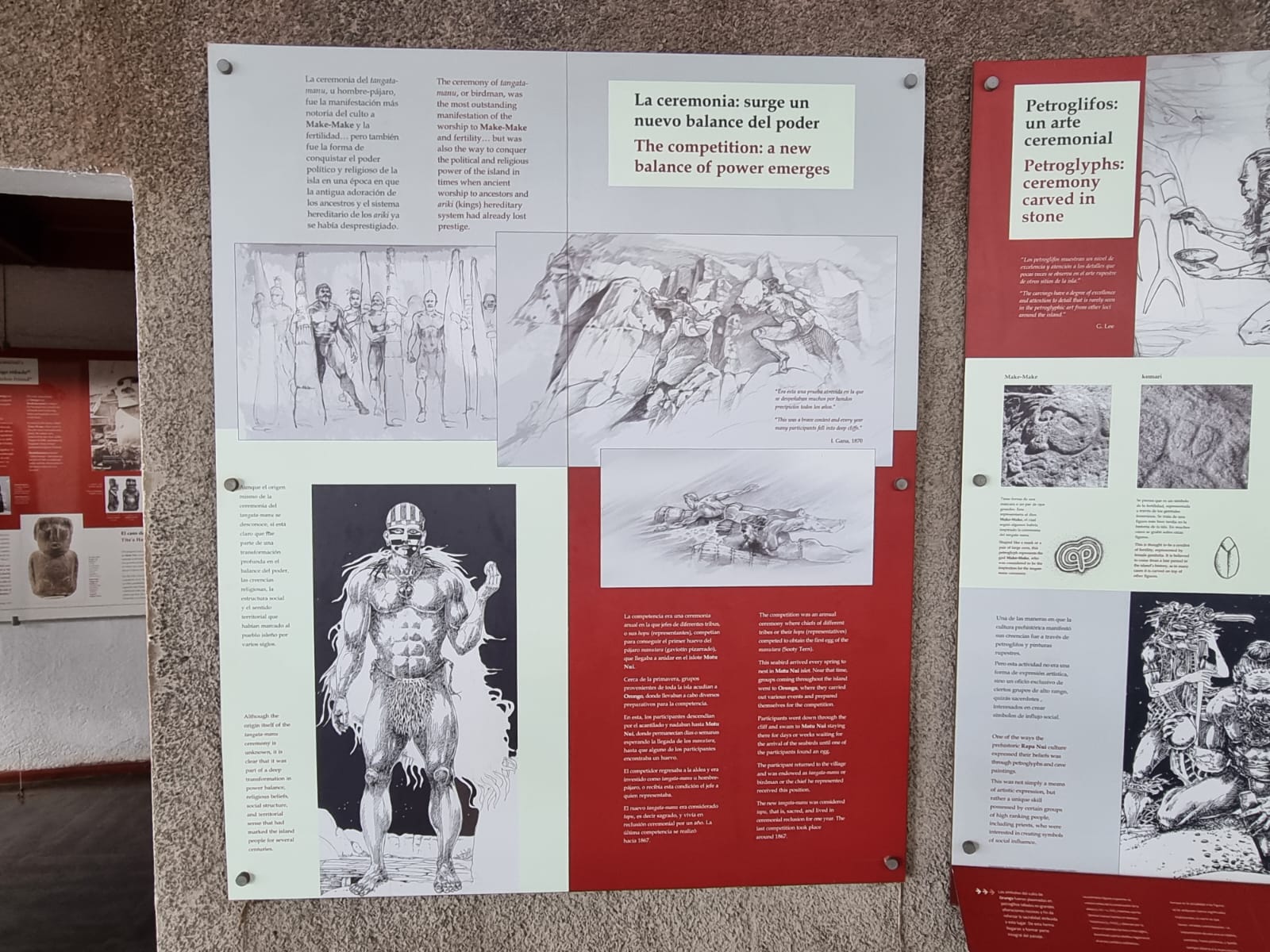
On the second day, I was assigned as a guest escort for an excursion. After tendering, we took the bus for about 20 minutes to Rano Kao, one of the three extinct volcanoes that formed Easter Island. The special thing about this volcano is its 200-metre-deep crater, which has collapsed to form a caldera about 1.6 km in diameter. Its freshwater-filled crater lake has partially silted up. The panoramic view from this hill is breathtaking. The Orongo cult site is also located there and you can take a tour through the entrance building, which houses a small archaeological and ethnological museum, along these cult sites, which are closely linked to the unique birdman cult that is widespread throughout the Pacific region.
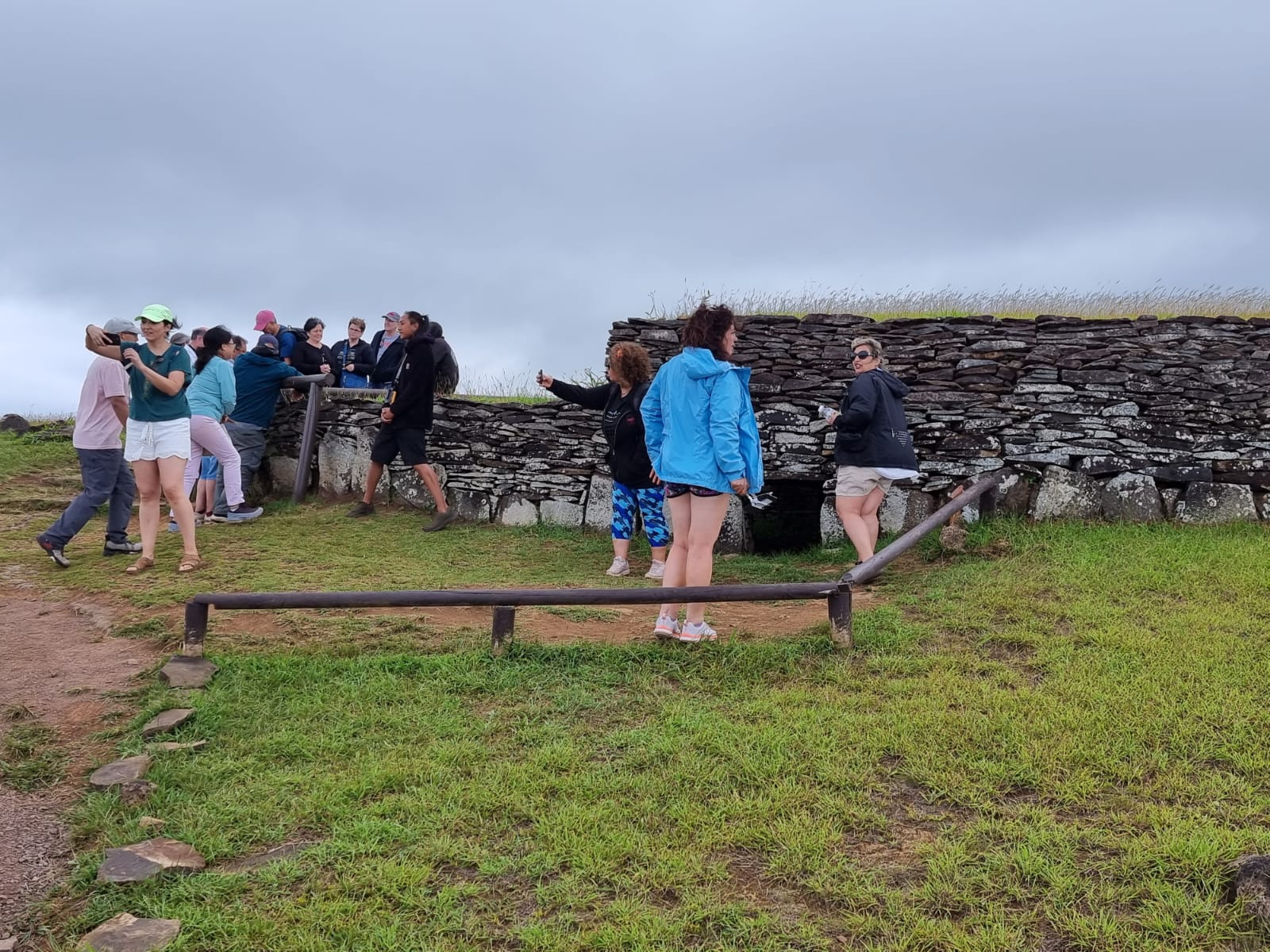


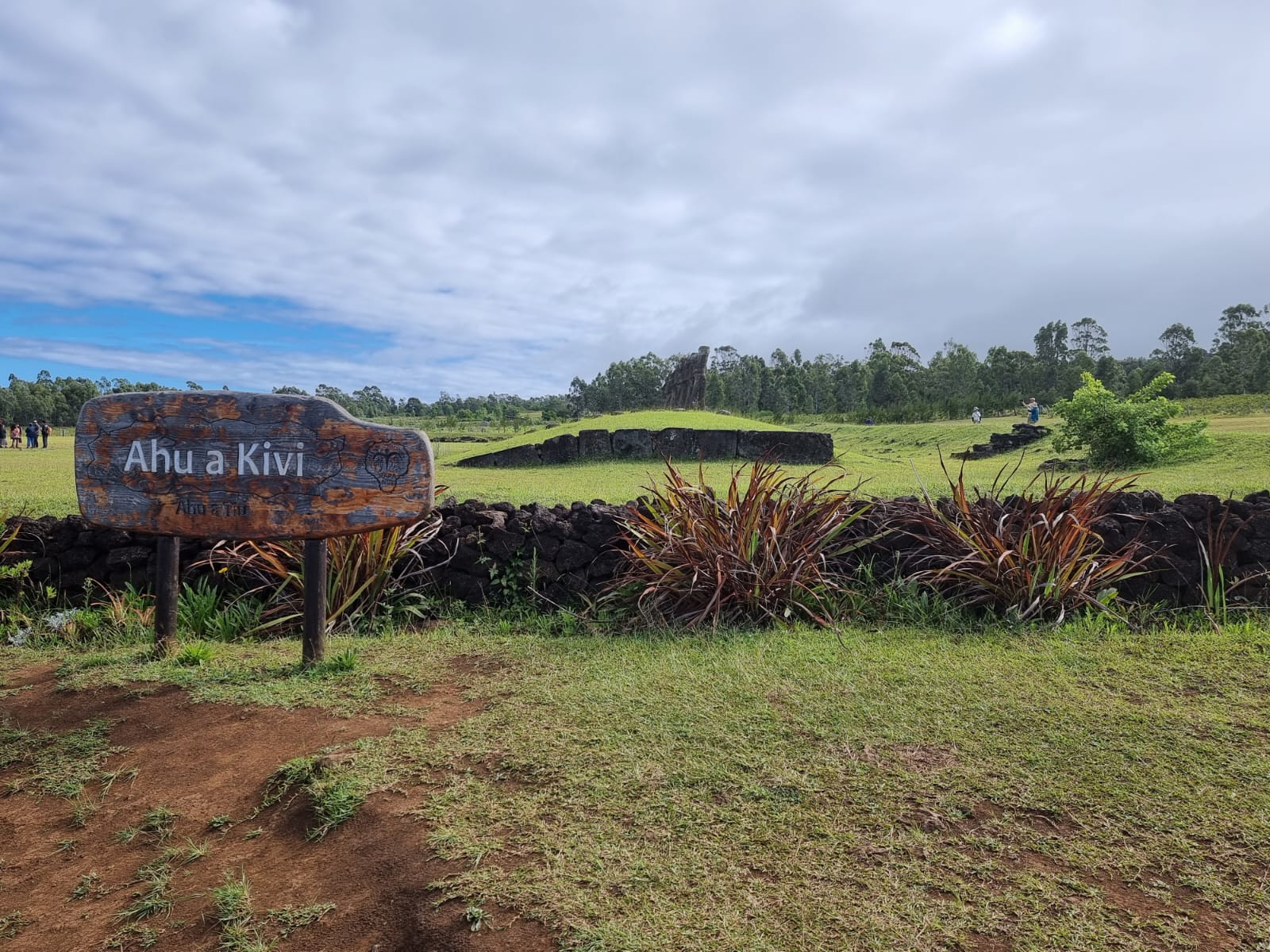
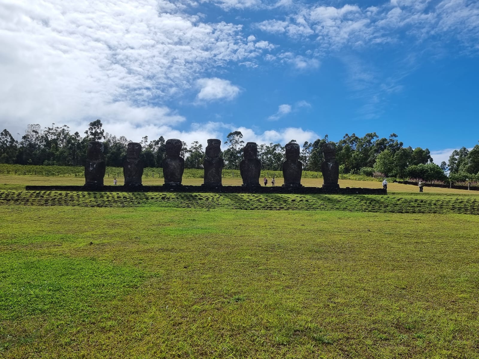
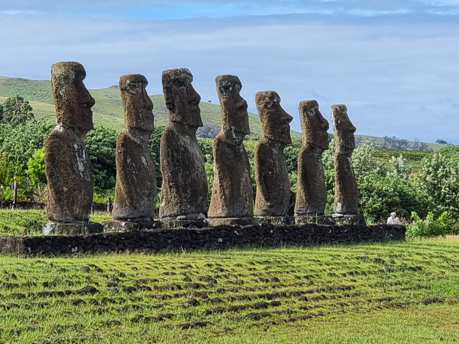
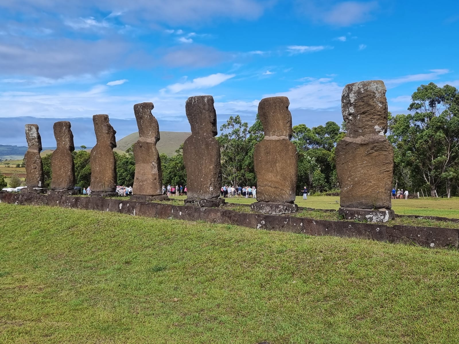
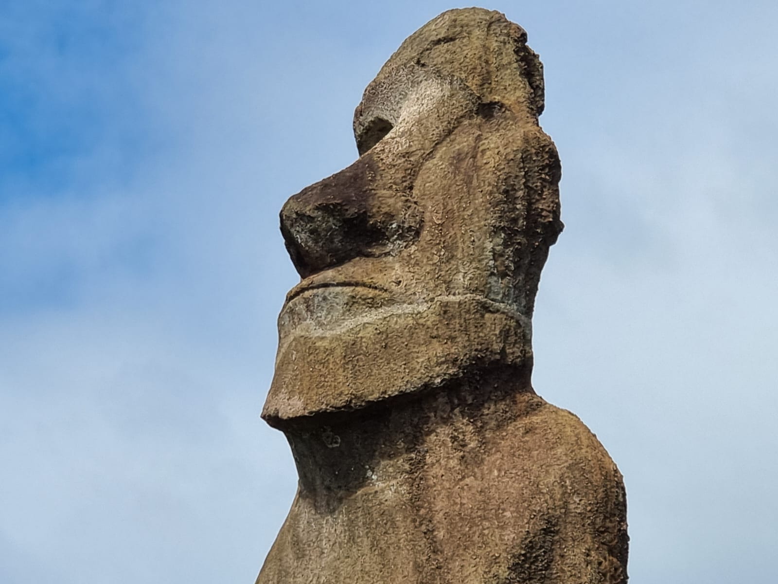
The second stop was Ahu a Kivi. This is a particularly sacred place on Rapa Nui overlooking the Pacific Ocean. The site has seven moai, all the same shape and size, and is also known as the Celestial Observatory, which was built around the 16th century. The site is located inland. Moai statues were considered by the early people of Rapa Nui to be their ancestors or tupuna, believed to be the reincarnation of important kings or leaders of their clans. The moais were erected to protect and bring prosperity to their clan and village.

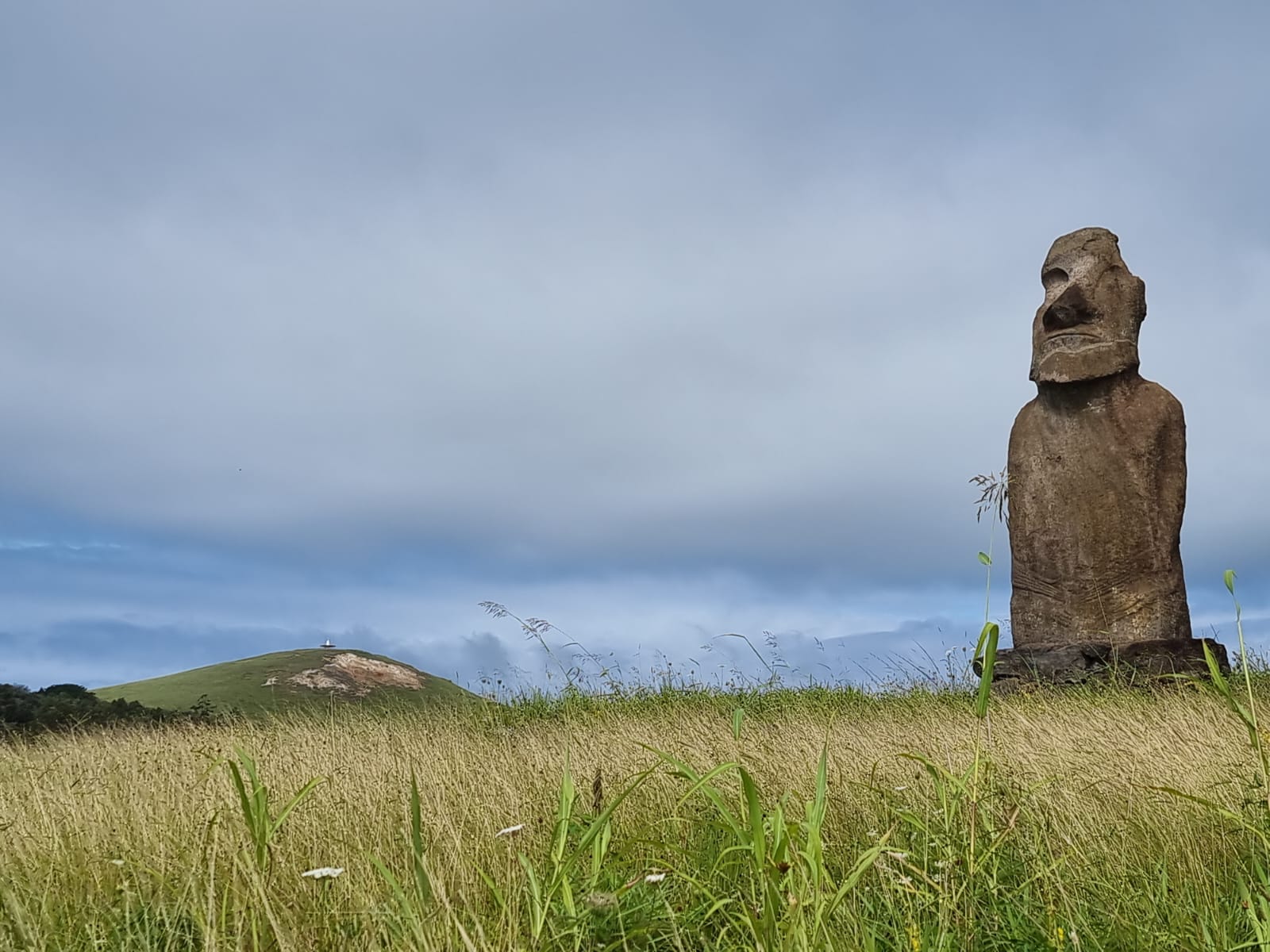
We continued by bus to the last stop: Ahu Huri A Urenga, “The Astronomer”, an astronomically oriented moai statue with four hands. The single moai statue of Ahu Huri A Urenga is the only known statue with four hands. The symbolic meaning of this is unknown, but is nevertheless undisputedly intended.

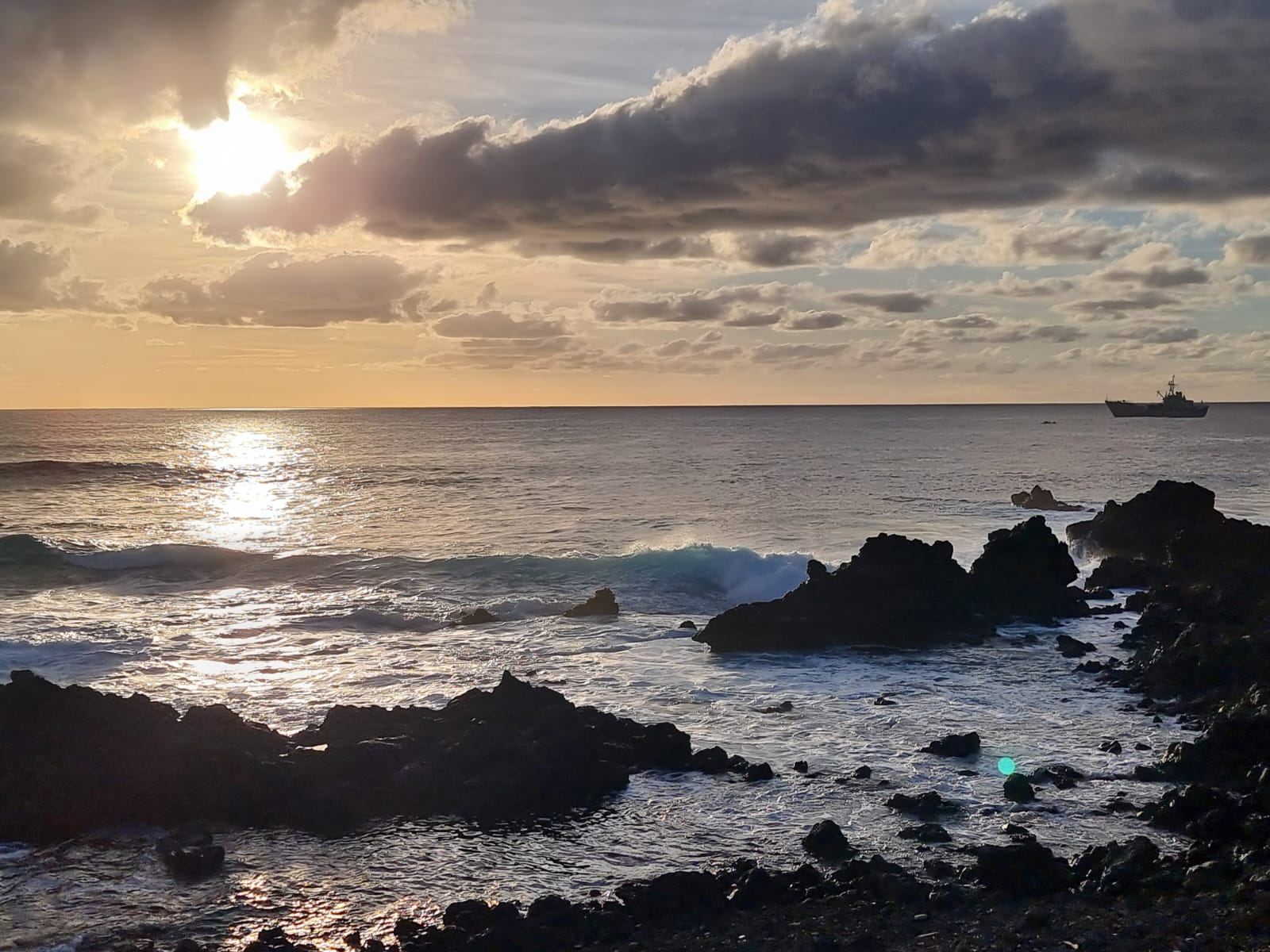
After this, we hurried to get back to the tender boat as quickly as possible due to an approaching storm. The 15-minute crossing to the ship was accordingly rough and violent and accompanied by seasickness despite the short time. In the end, we were all glad to be safely back on our ship.
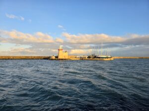
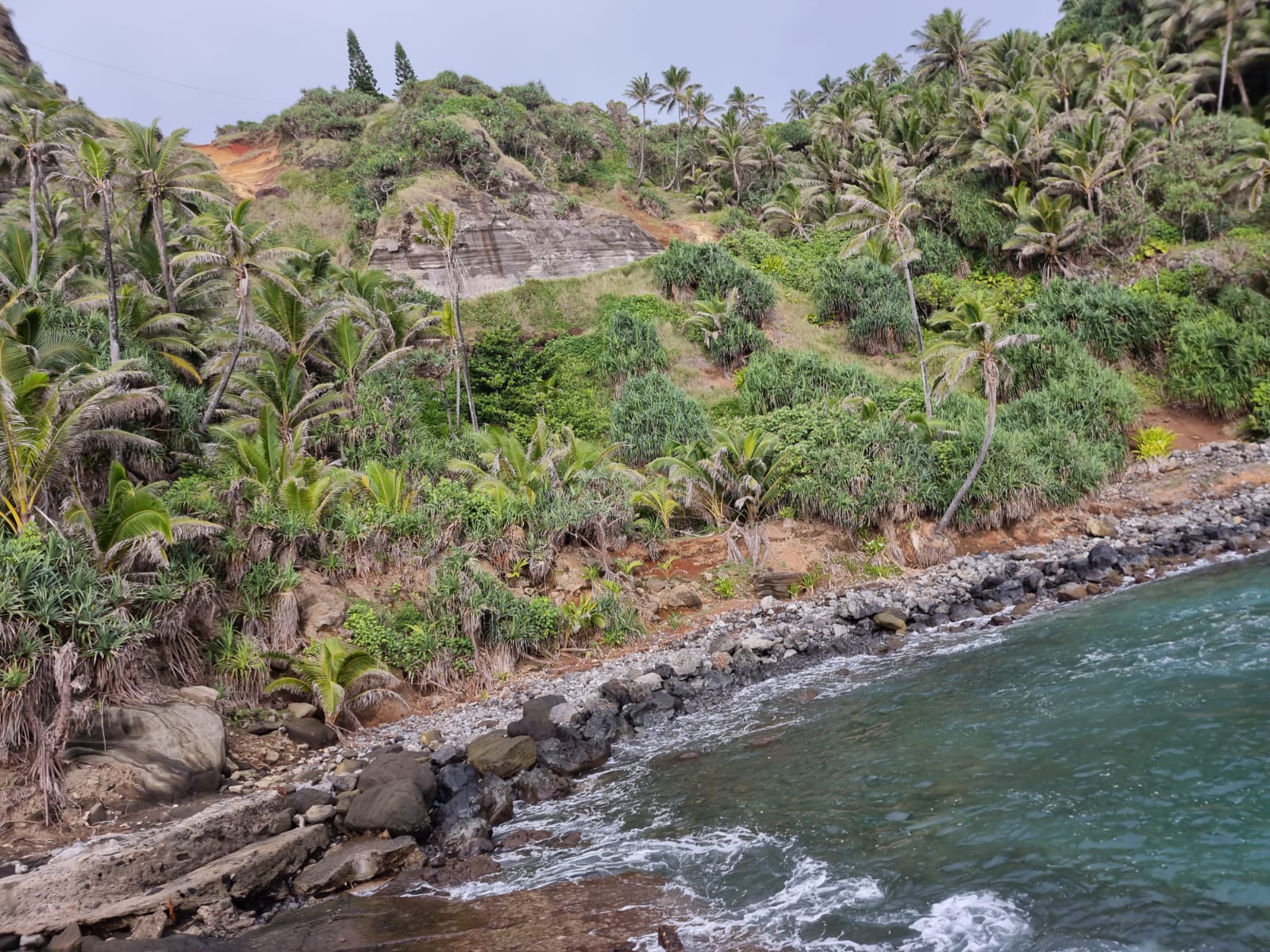
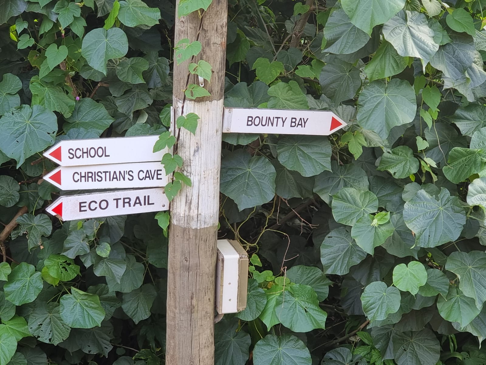
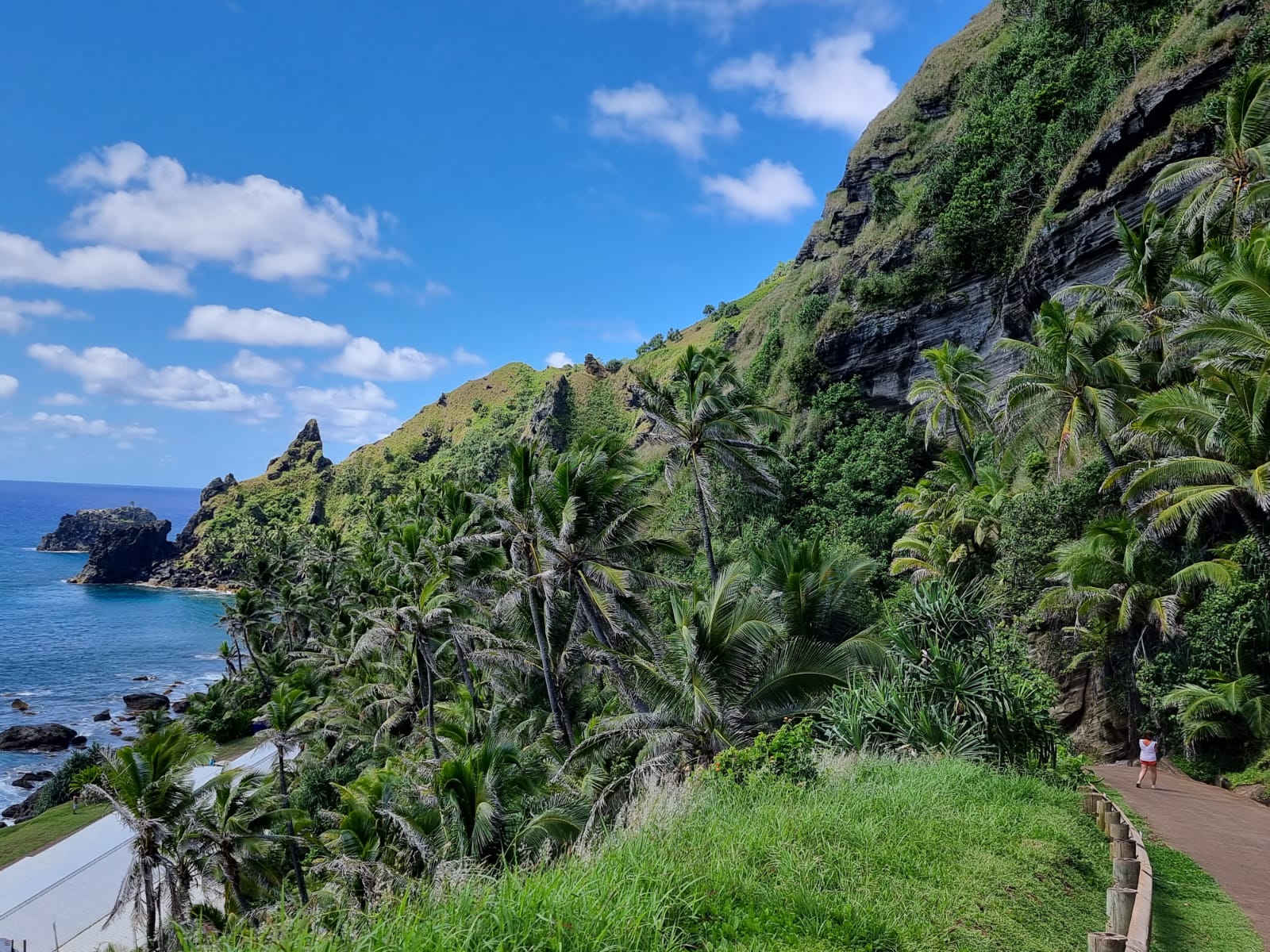
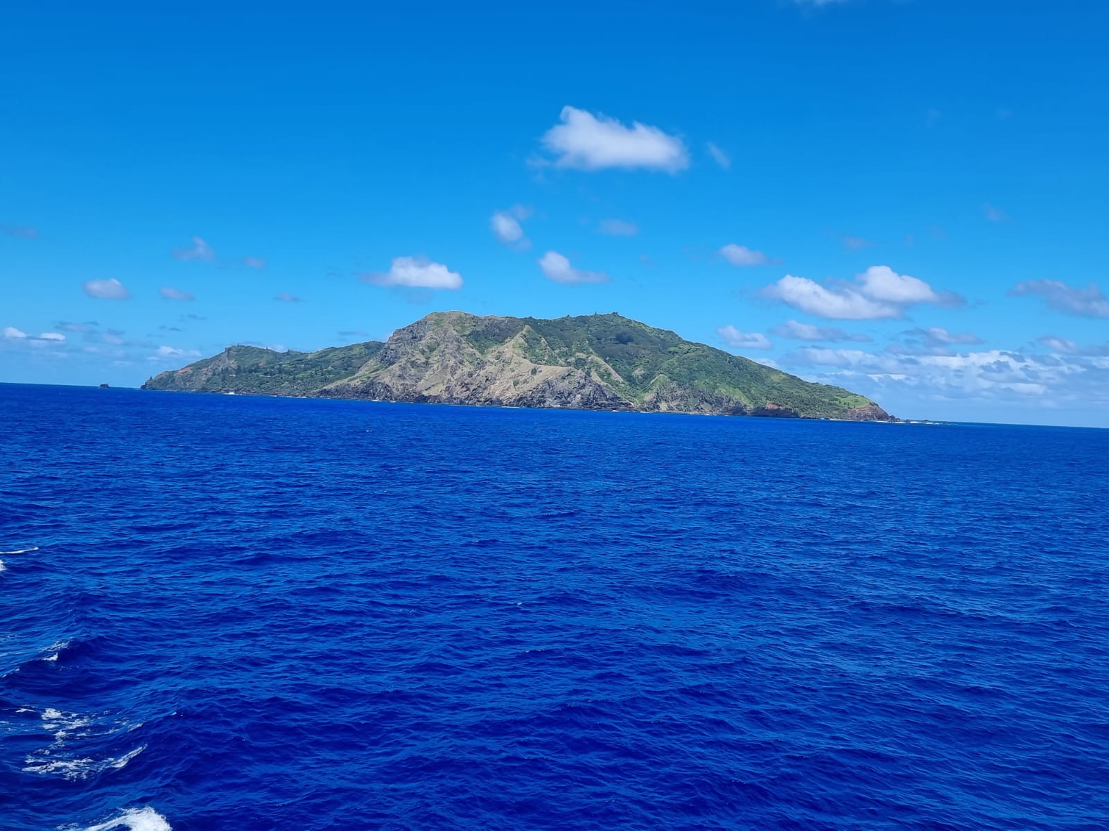
On March 26, we arrived in Pitcairn, one of the most remote islands in the world. In the middle of the Pacific, thousands of kilometers of ocean all around, British Overseas Territory, with a current population of 37, all descendants of the Mutiny of the Bounty and their Polynesian wives. There is no port for ships or airplanes. A supply ship comes from New Zealand every quarter. This and more information can be found on the Pitcairn Islands Homepage. I was actually planned as an escort for a group of visitors who were to hike across the island. We first took the zodiac inflatable boats from the ship to the jetty. There I was greeted by the island secretary and asked if I wanted to meet the island doctor, who would then look after me. Full of expectation, I made my way up the steep path to the town square of Adamstown, the “island capital”.


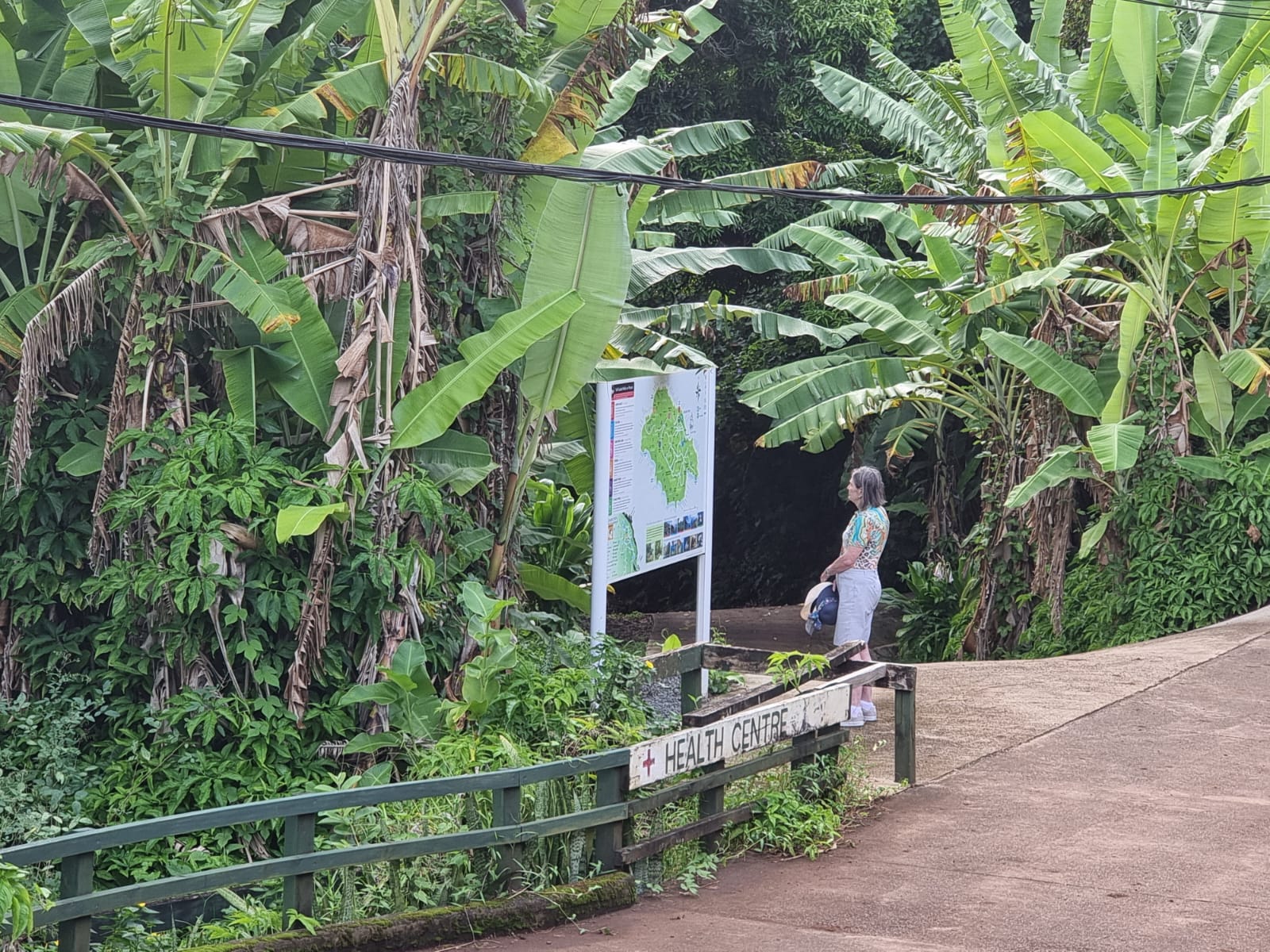


Peter, the island doctor, arrived after a while on his quad bike and invited me to his house to take off my rucksack. There he also gave me a windproof cap. Then he showed me his medical center, which was equipped with everything I needed. There is also a nurse in the east who also works in the medical center when needed. The doctors mostly come from Australia or New Zealand and work on Pitcairn on a rotation basis for between 6 and 12 months. Peter comes from Australia and works there as an outback doctor in a small village.


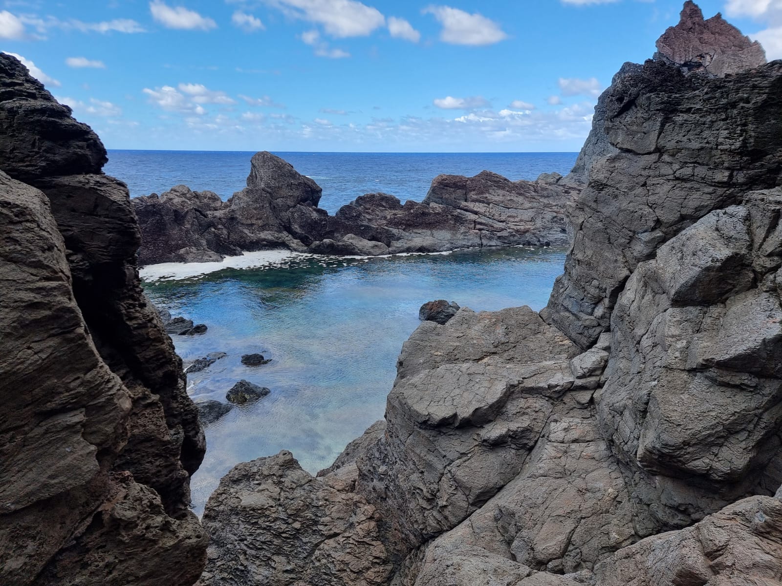
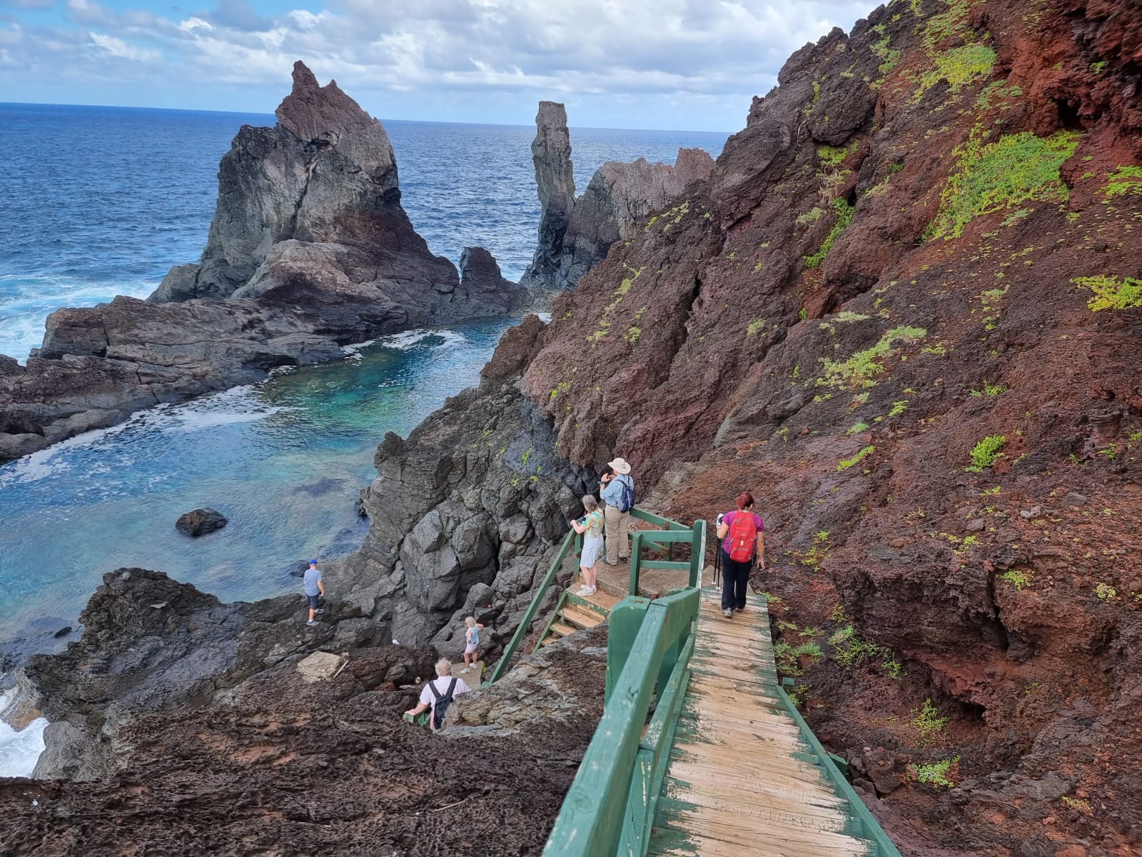
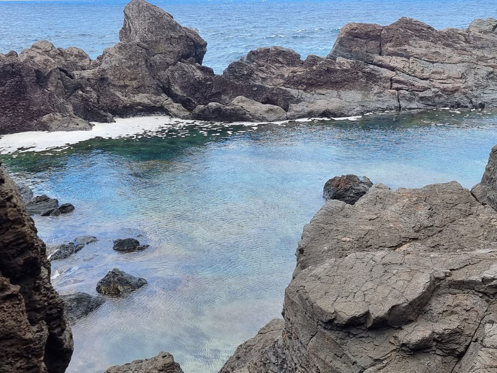
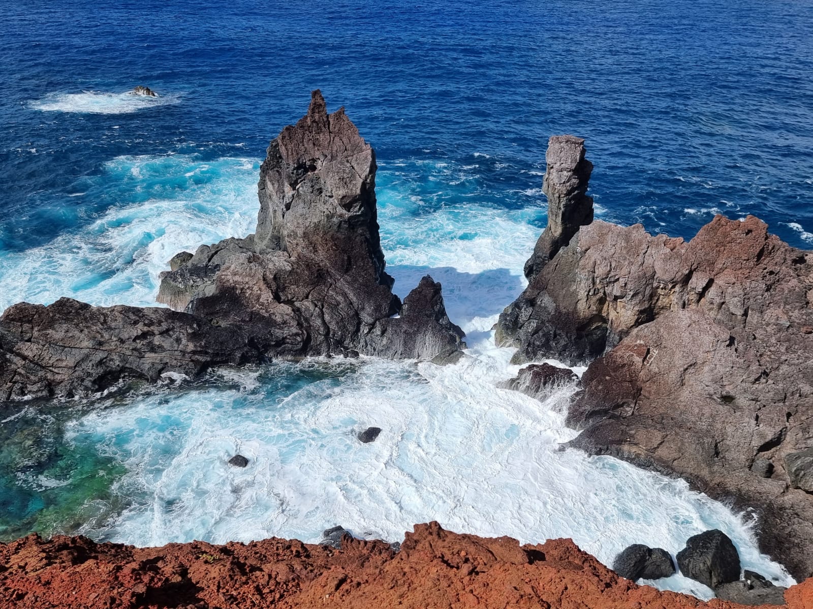
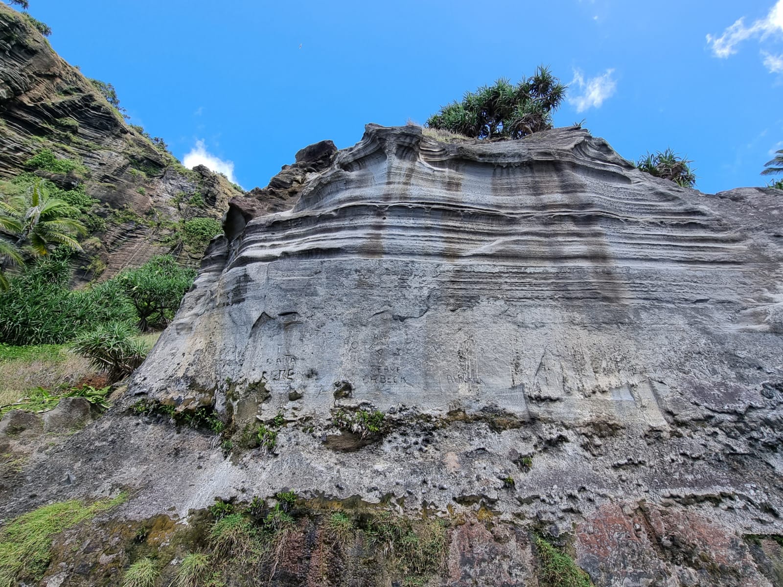
After that I bought postcards and stamps. As soon as they were finished, they disappeared into the letter box at the post office. Peter then drove me to St. Paul’s Pool, a place with a breathtaking view of a volcanically formed pool, which could not be used as a pool today due to heavy swell, as huge waves often turned the pool into a roaring white spray. As we descended almost to the water level afterwards, I was able to take some more photos.


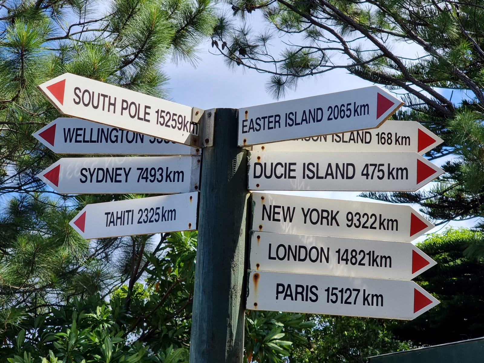
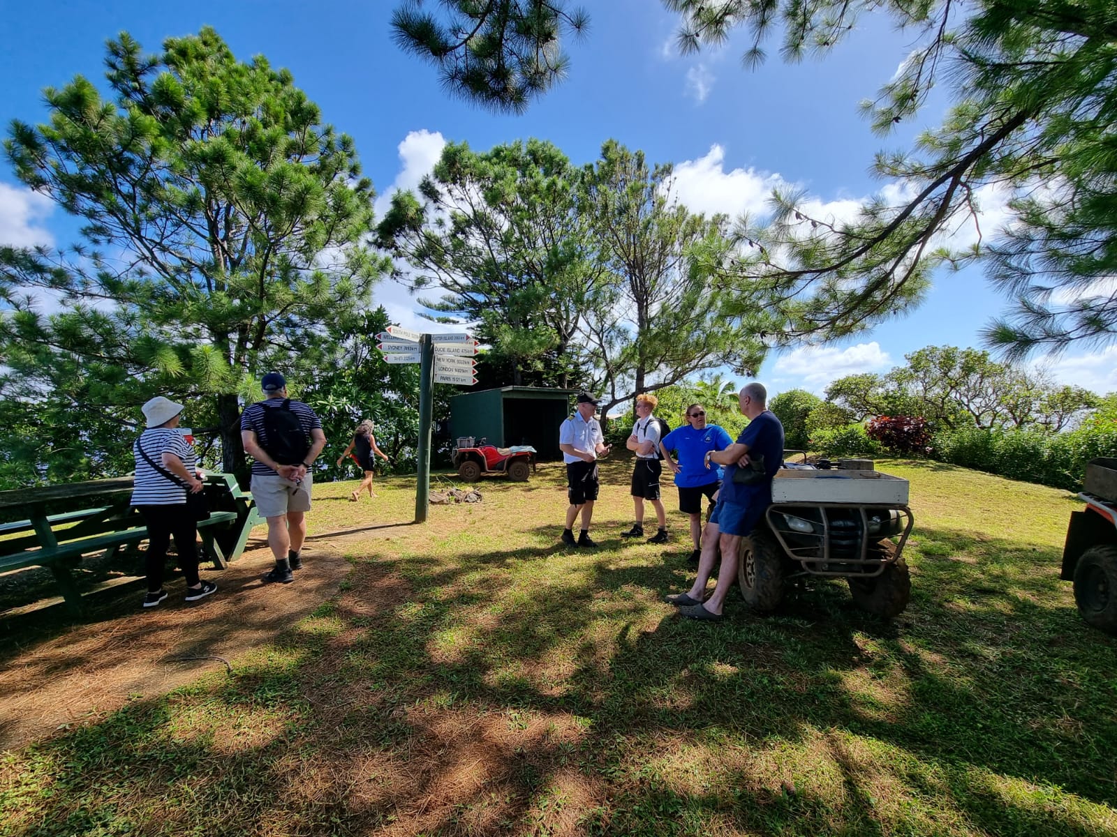
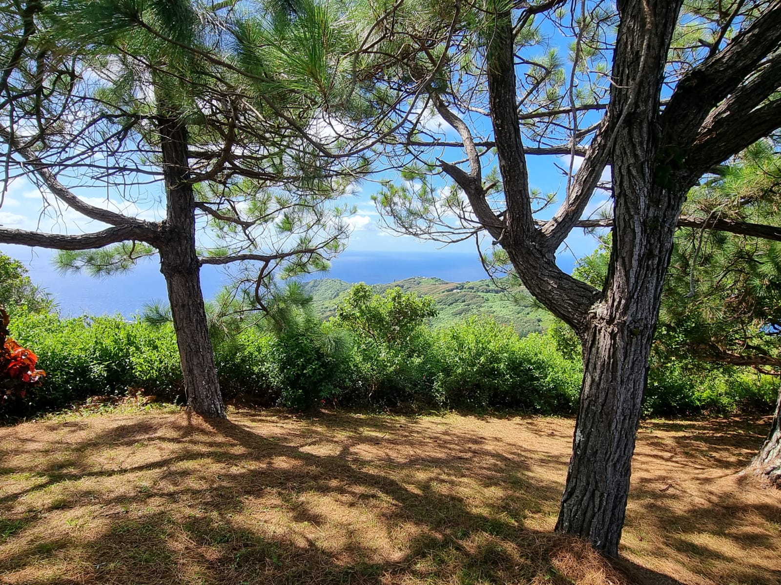
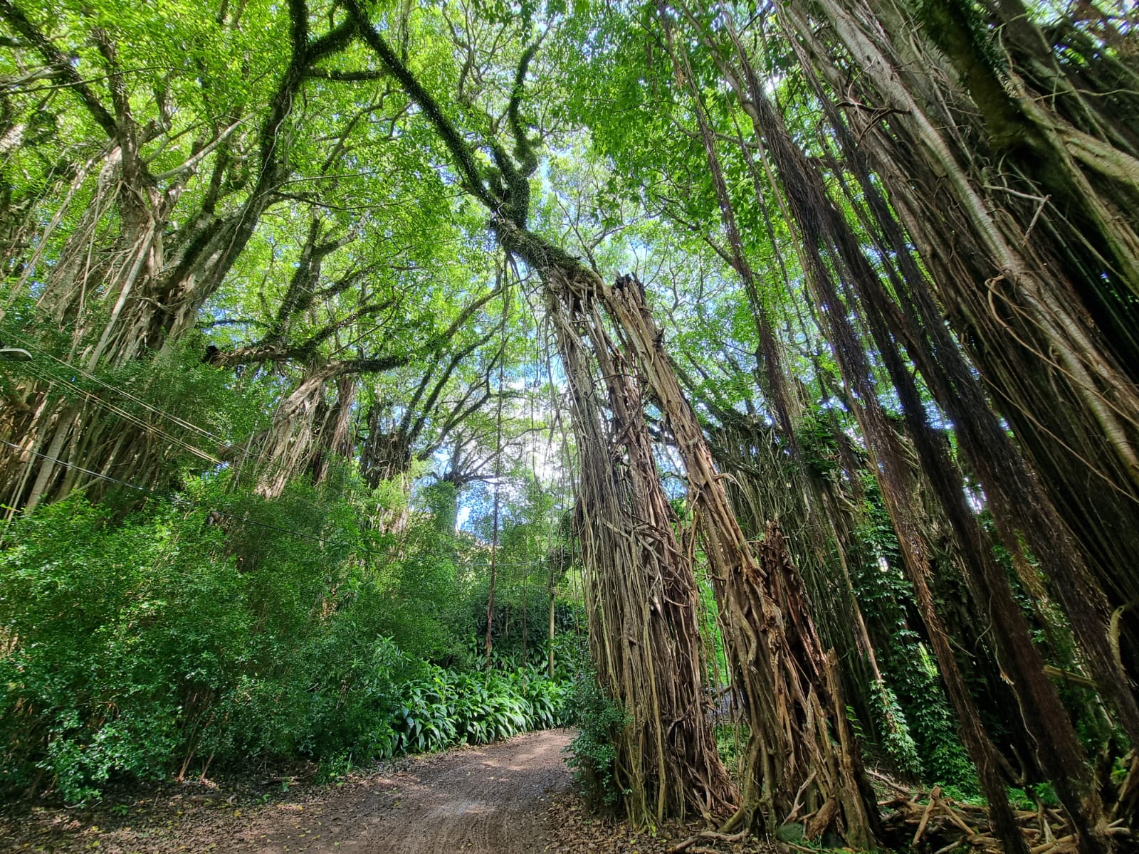
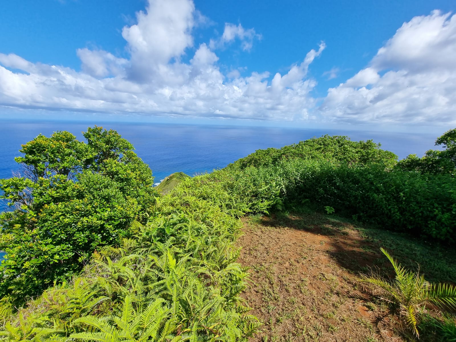
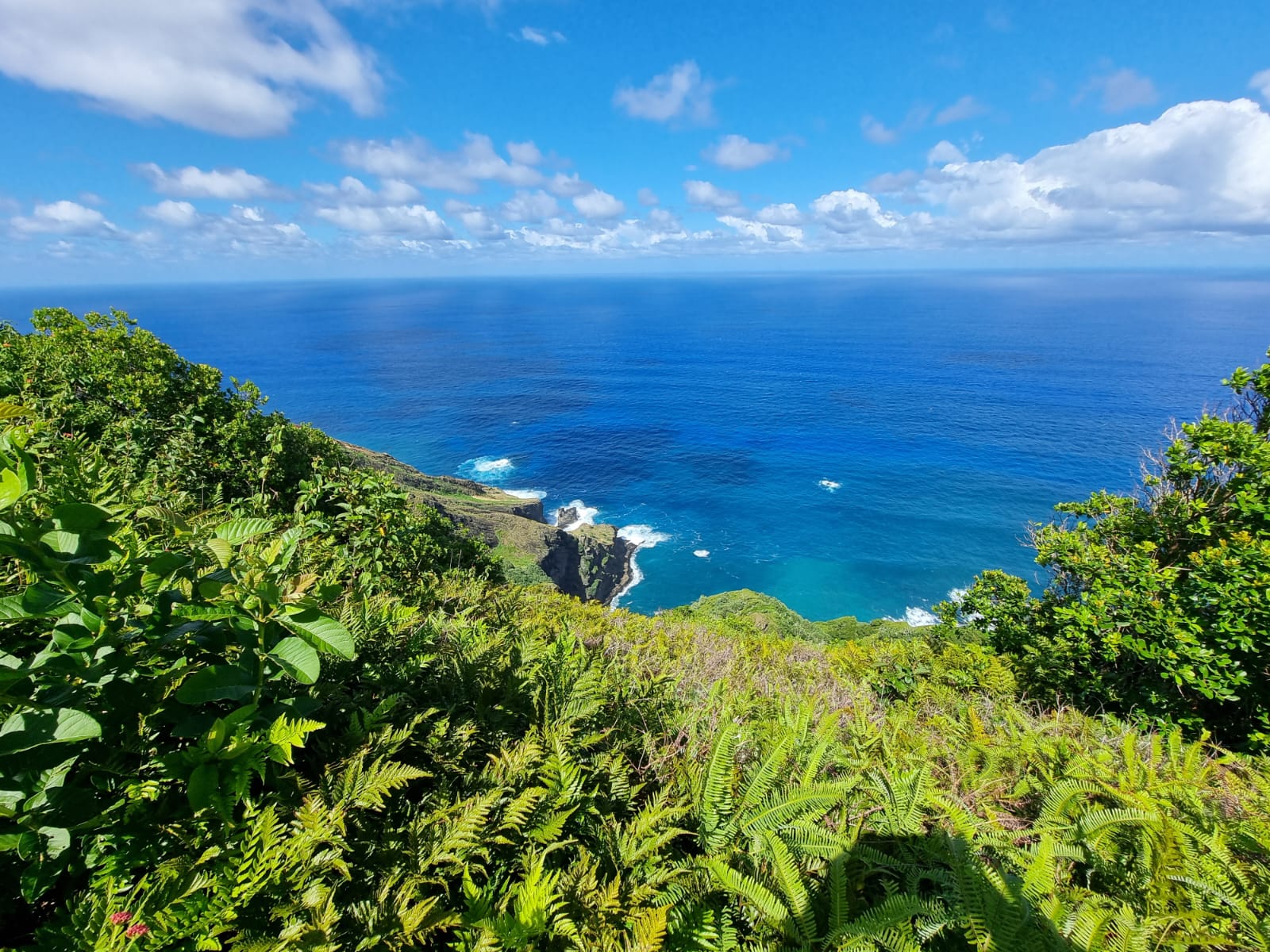
Later, we drove to the highest point on the island, with an unforgettable panoramic view and surrounded by beautiful nature. At the end, Peter dropped me off in the town center and, after a final tour, I made my way back down to the landing stage. After the transfer by Zodiac boat, it was time to say goodbye to Pitcairn.


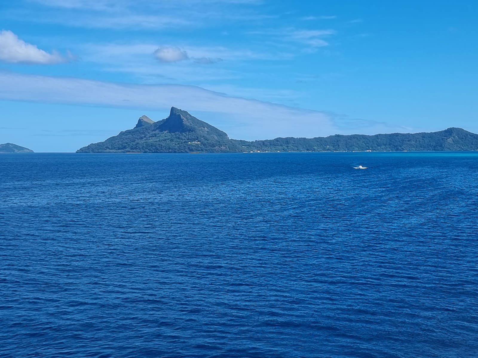
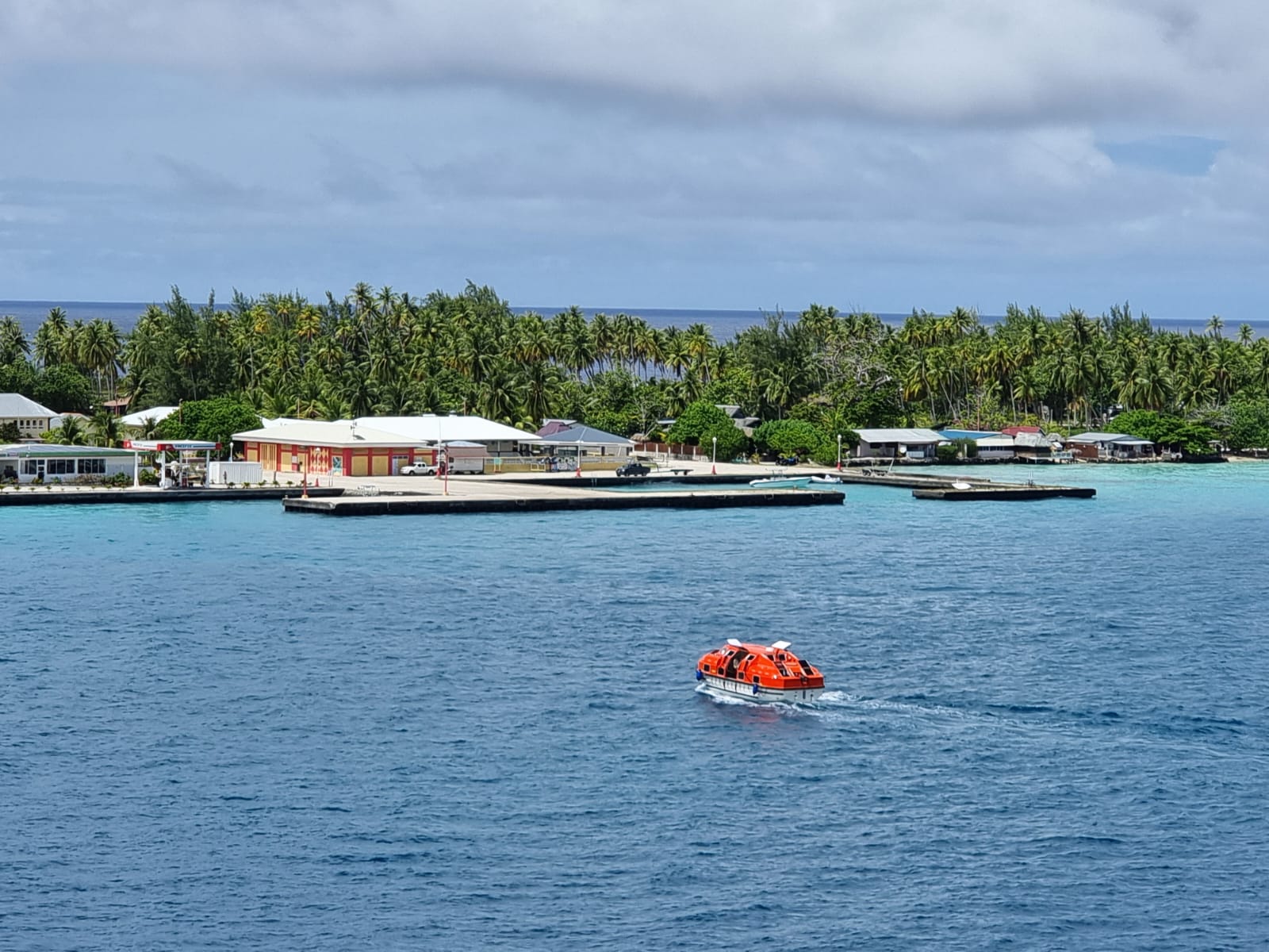
On March 28, we made a stop at Mangareva. The island lies in the middle of the Pacific Ocean and is part of the Gambier Islands archipelago and therefore French Polynesia. The time zone here is GMT/UTC-9, and the main town of Rikitea has a population of around 800.

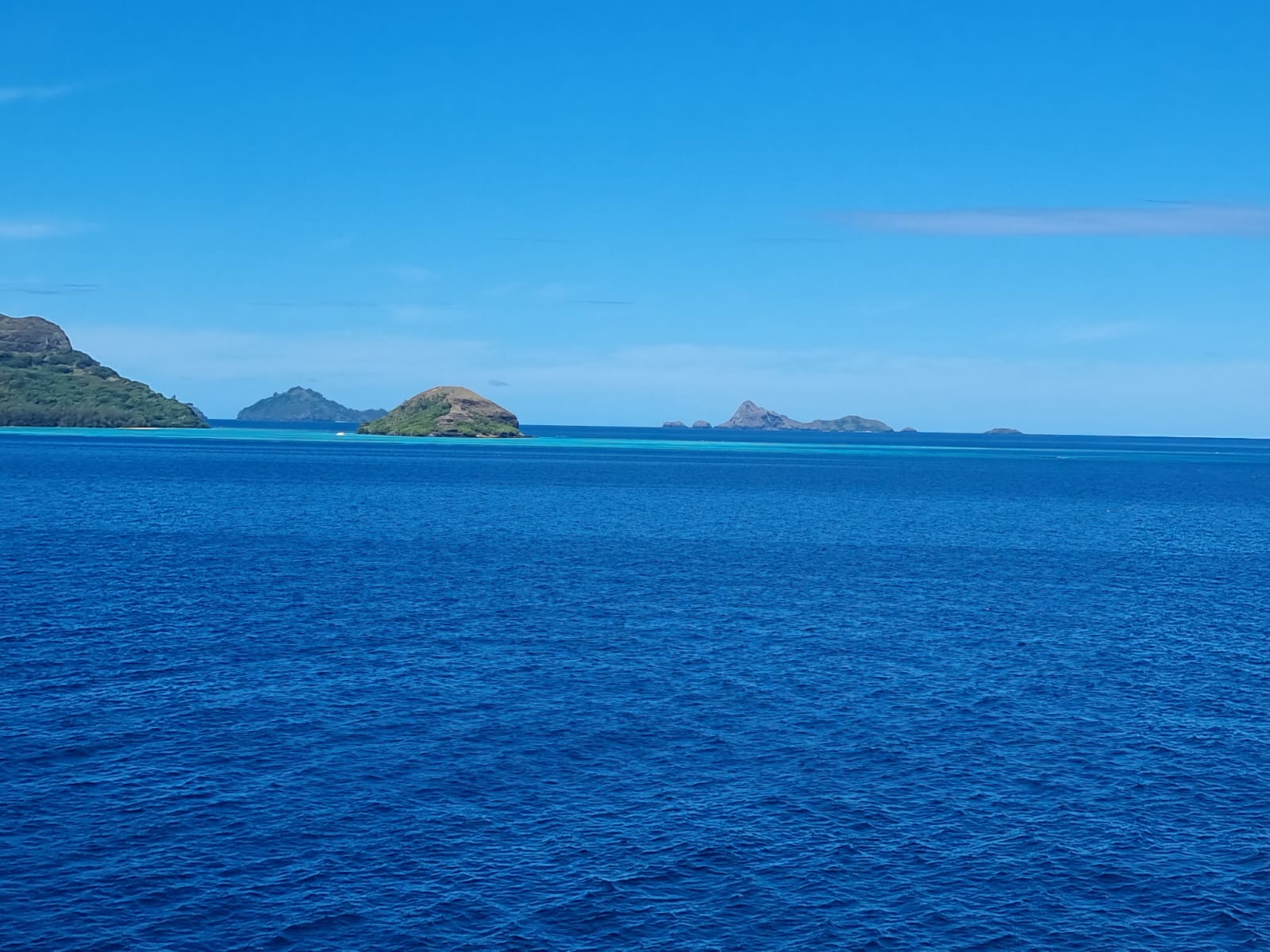

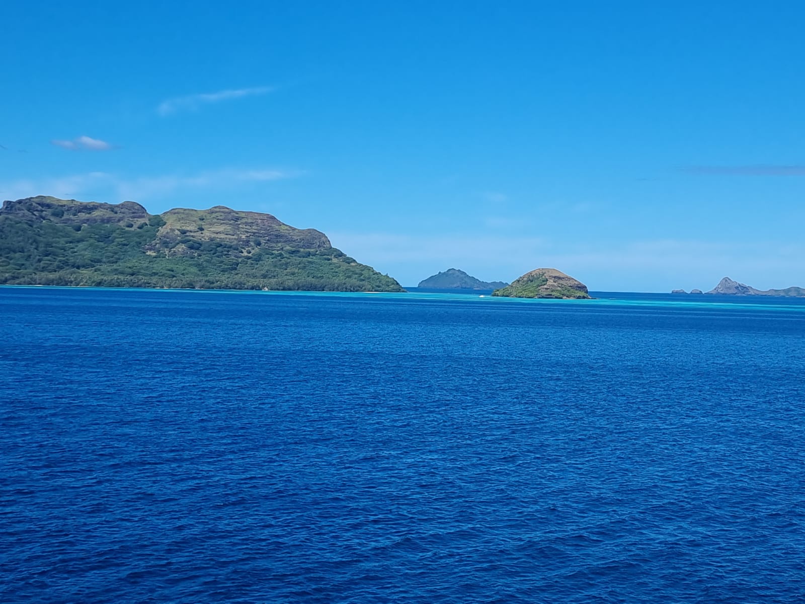
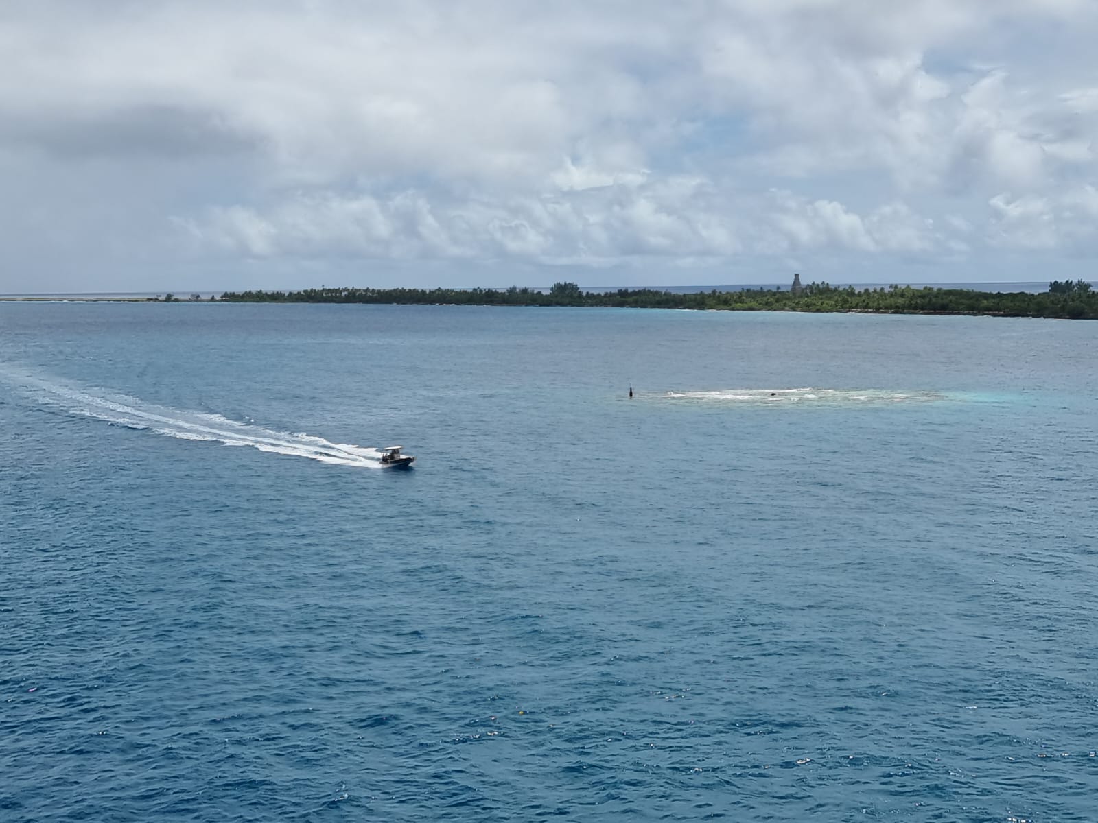
On March 30, we stopped in Fakarava, a rectangular atoll about 500 km northeast of Tahiti. 30 degrees in the shade and a murderous sun prevented me from taking a trip outside.


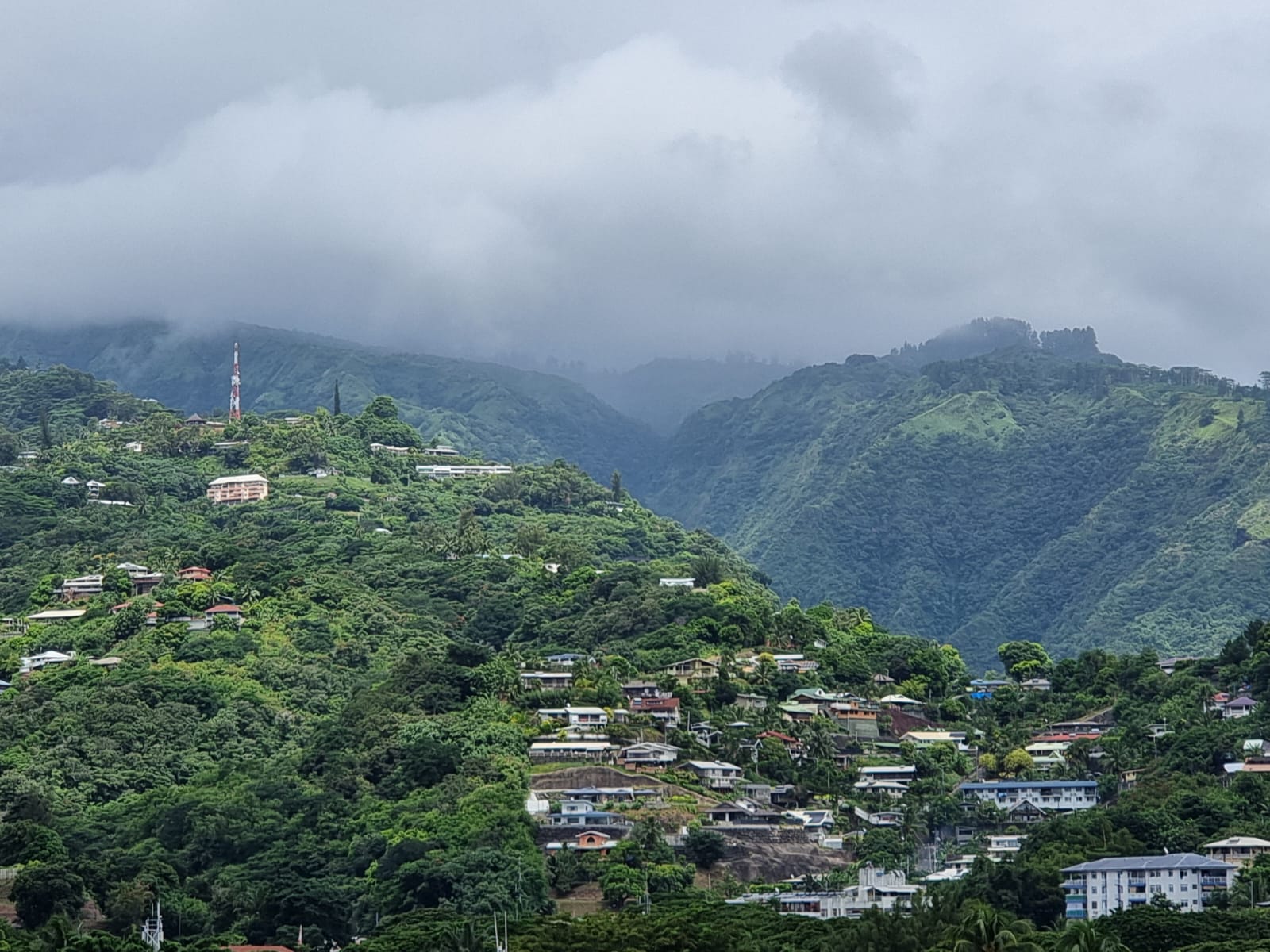
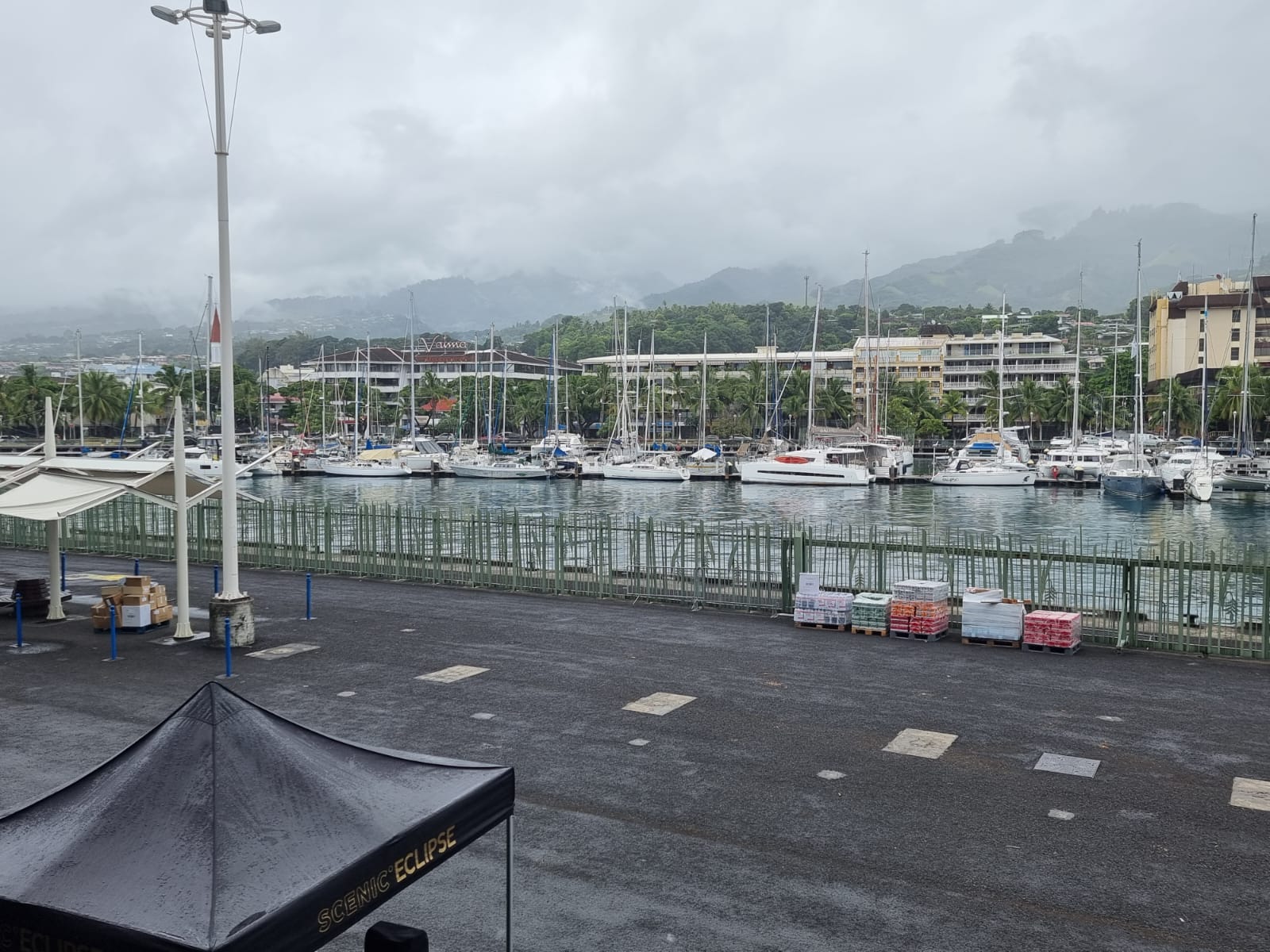
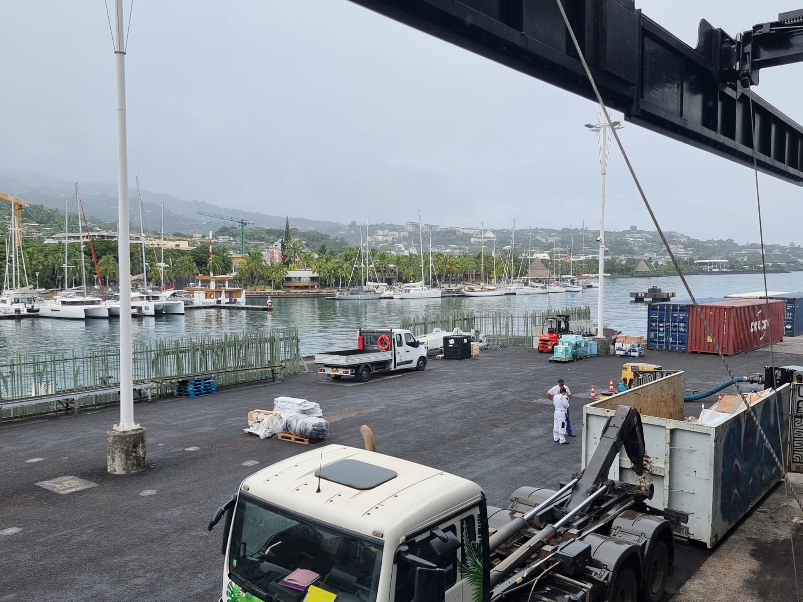
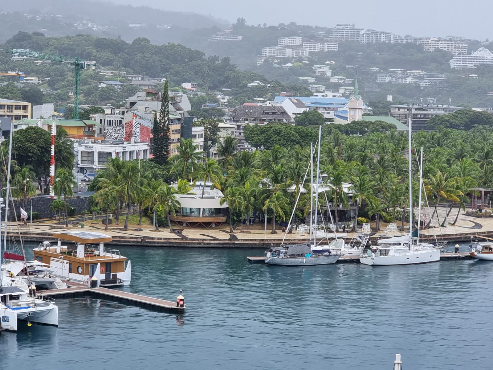
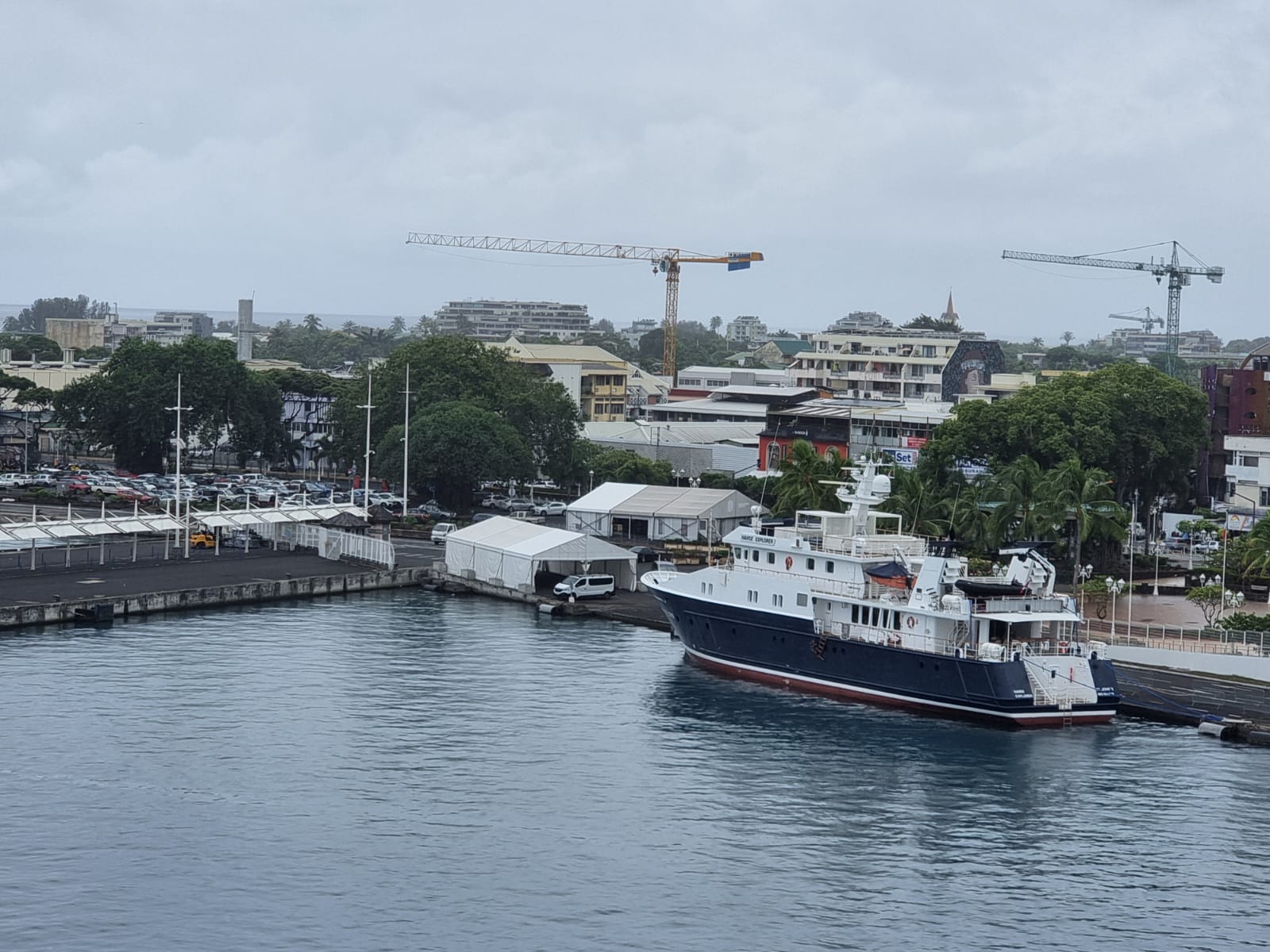
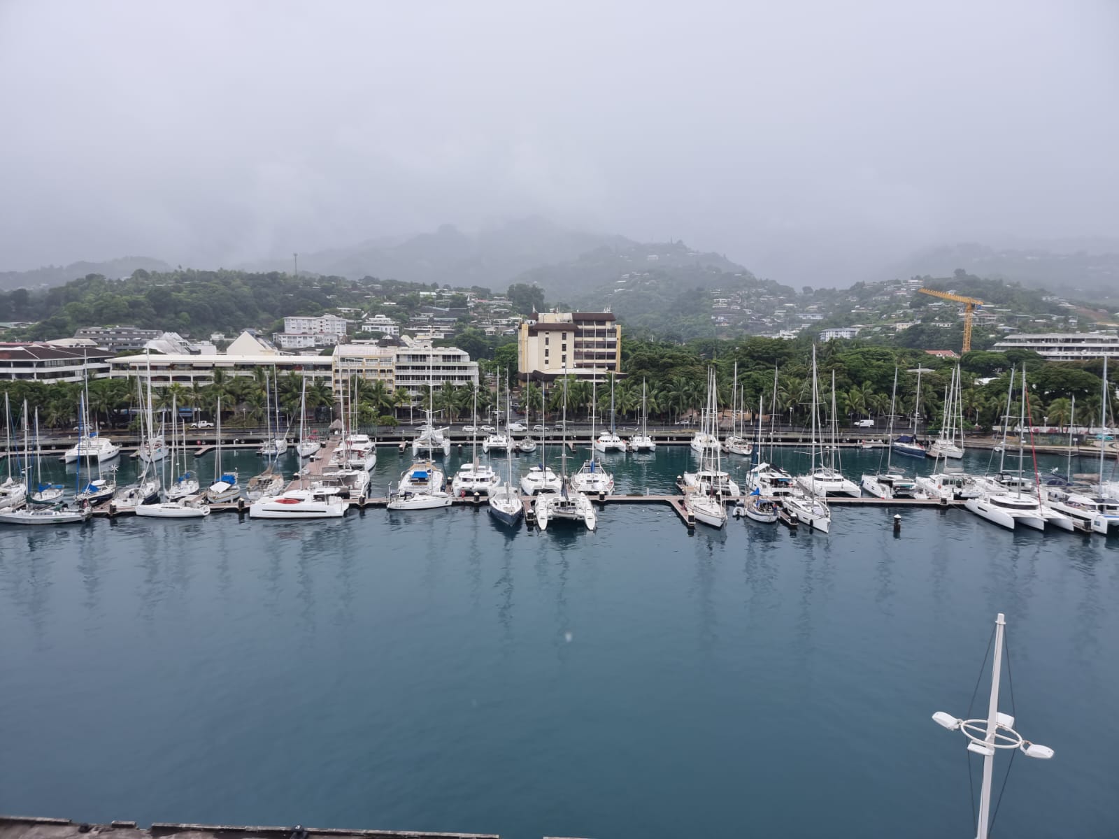
We reached the end of this cruise in Papeete on March 31. The capital of French Polynesia is located on the island of Tahiti, which is part of the Society Islands, and is a bustling metropolis with around 27,000 inhabitants. Here the big changeover of crew and guests took place again. Unfortunately, it was quite cloudy that day and it was raining. The tropical rain is more like a warm shower.